
What did we see?
on our bus tour of the Dumaresq Creeklands
In September 2018, a group of members and visitors enjoyed a 2 hour bus tour of the creeklands right across the city - from Lake Zot at UNE in the west to the Cookes Rd bridge at the eastern edge of Armidale.
Enjoy taking the tour with us and get a better appreciation of what the creeklands look like along their entire length. And then, at the bottom of this page, please take our 5-minute quiz to provide some feedback.

Lake Zot
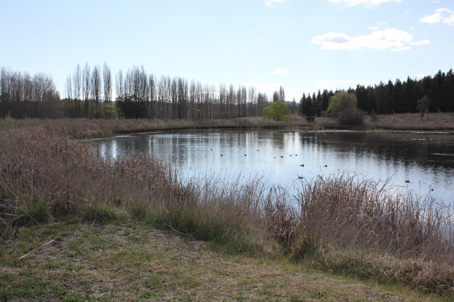
Looking south over Lake Zot at UNE (located just west of the SportUNE facilities). It was built as an off-stream dam in the early 1960s to provide a source of water for fire fighting purposes at the University.
Lake Zot
Looking west

Dumaresq Creek
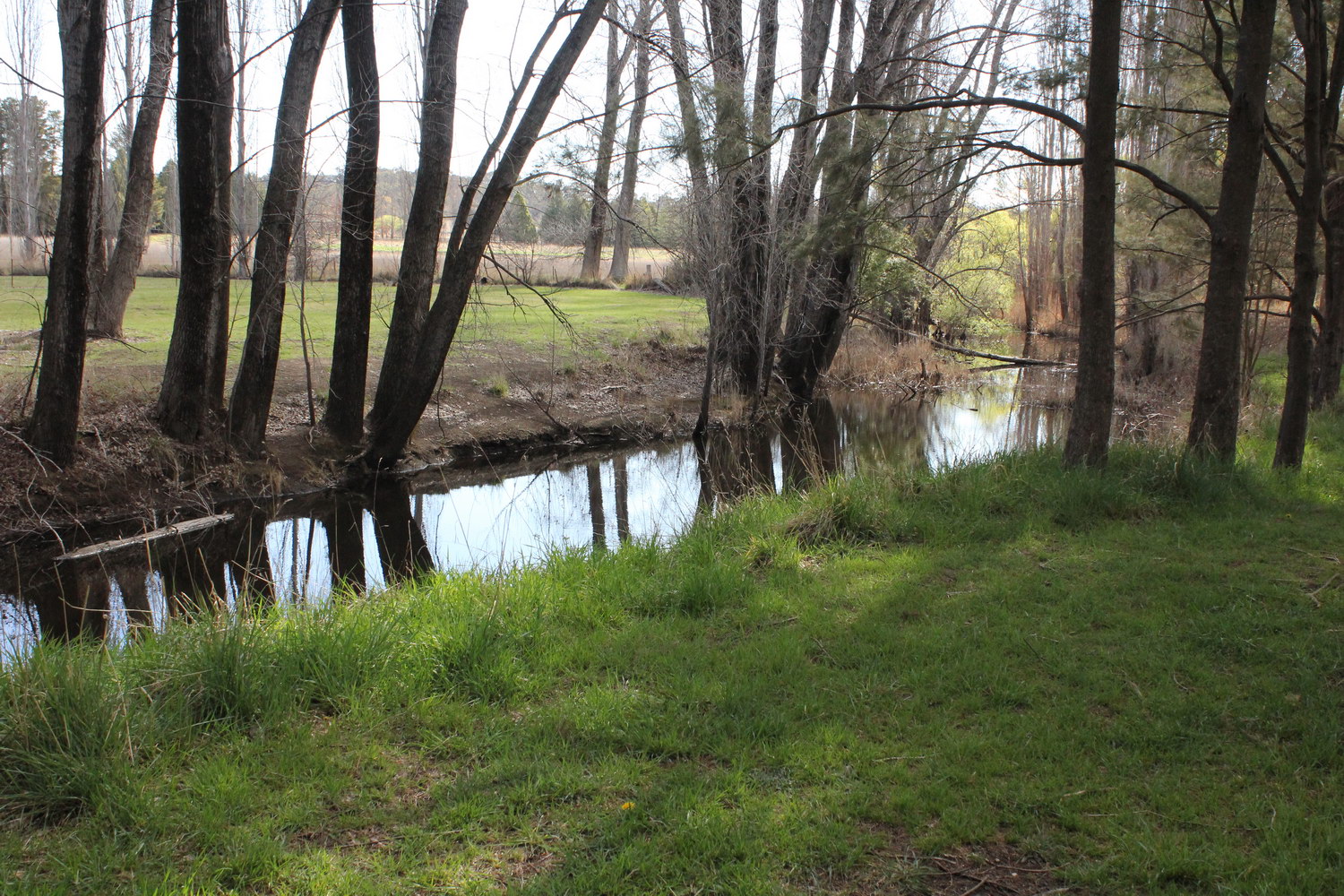
Looking south from Consett Davis sporting fields
Dumaresq Creek
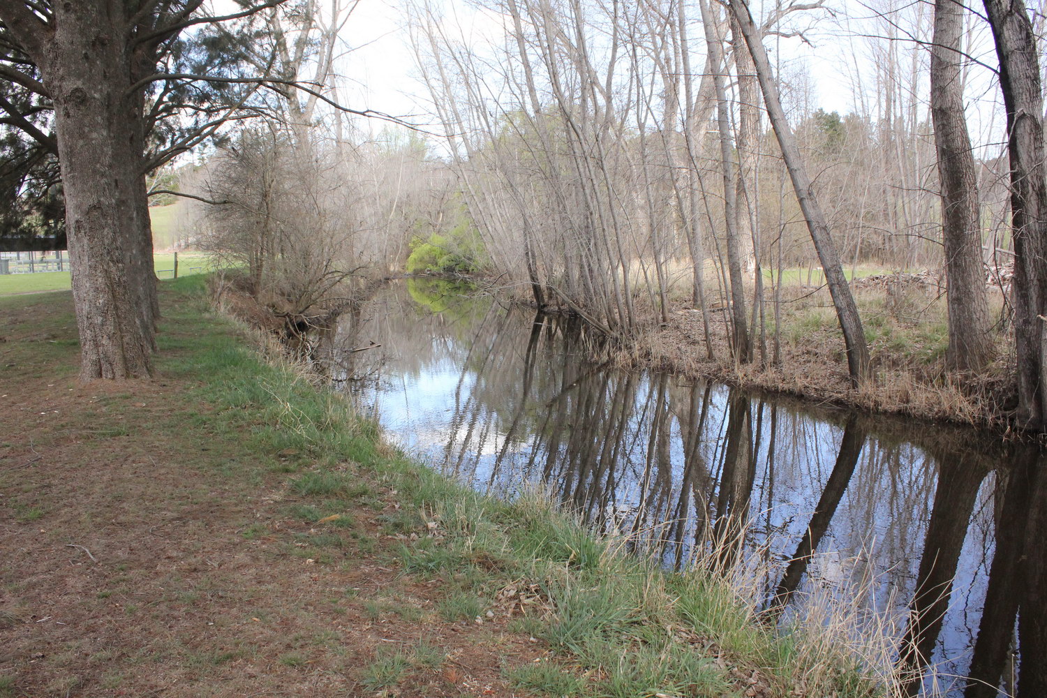
Looking south west from Consett Davis fields
Dumaresq Creek
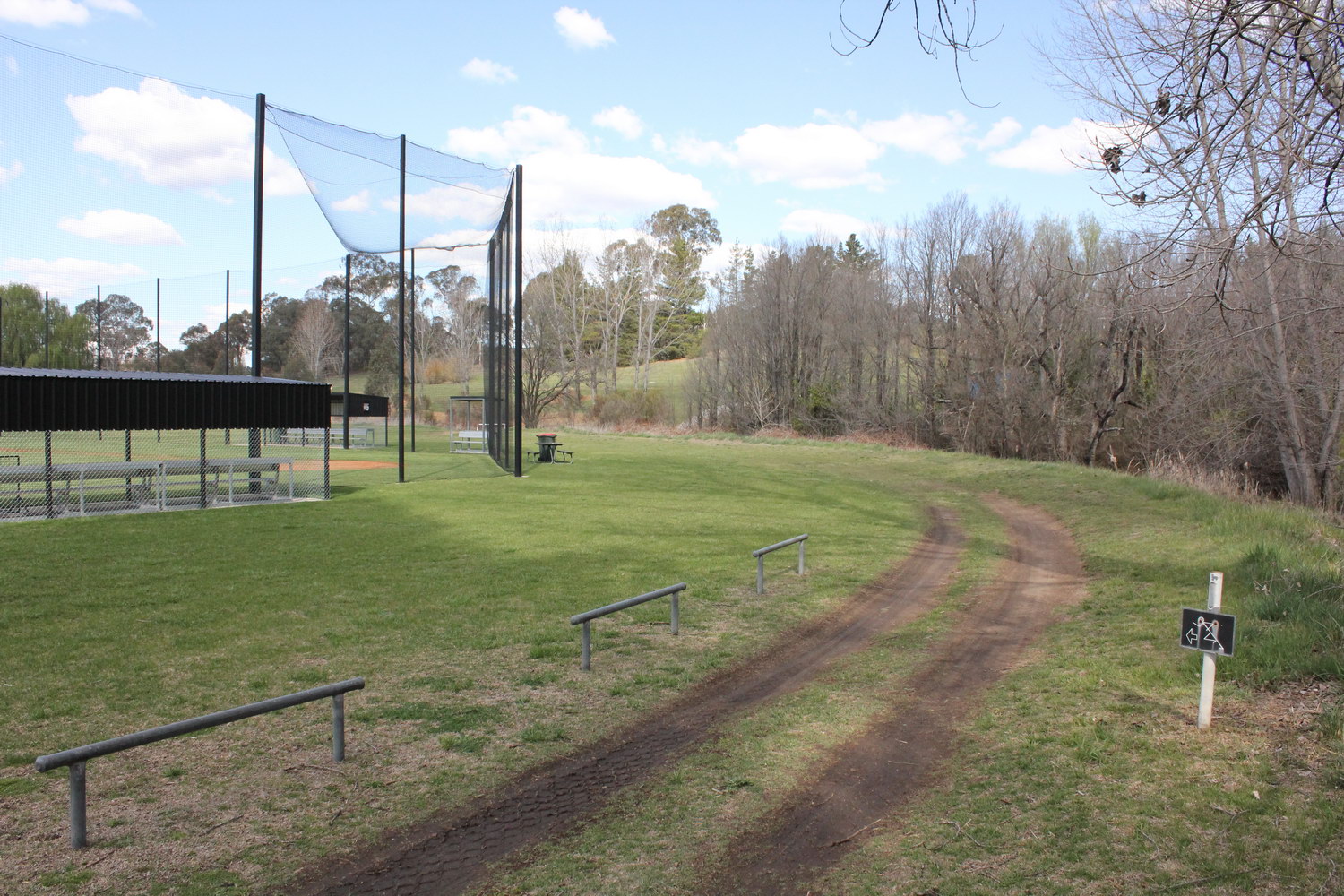
Looking east near southern end of Consett Davis fields
Dumaresq Creek
Looking east near baseball diamond on Consett Davis fields
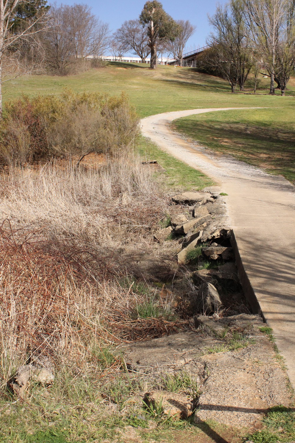
Dumaresq Creek
Old causeway leading from Consett Davis fields to residential colleges
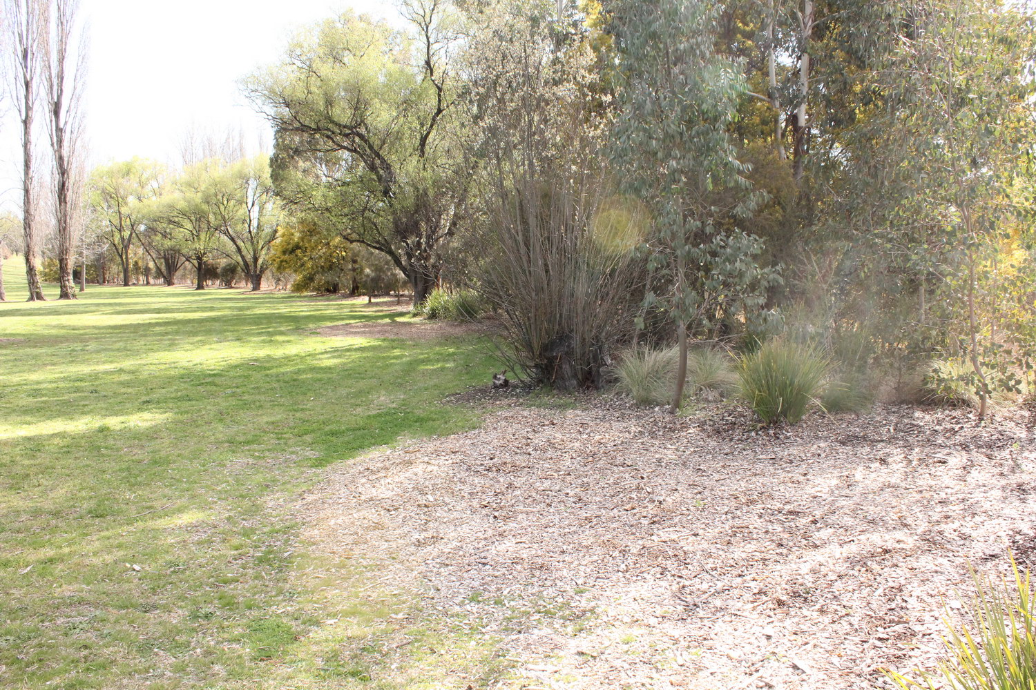
Dumaresq Creek
Looking north-east along eastern edge of Consett Davis fields
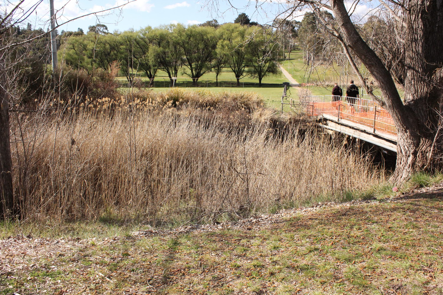
Dumaresq Creek
Looking north across footbridge connecting residential colleges with academic part of campus
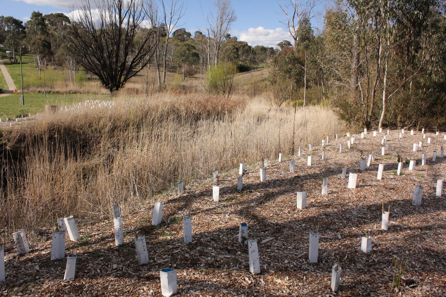
Dumaresq Creek
Recent plantings by AURG and Landcare on edge of creek near footbridge
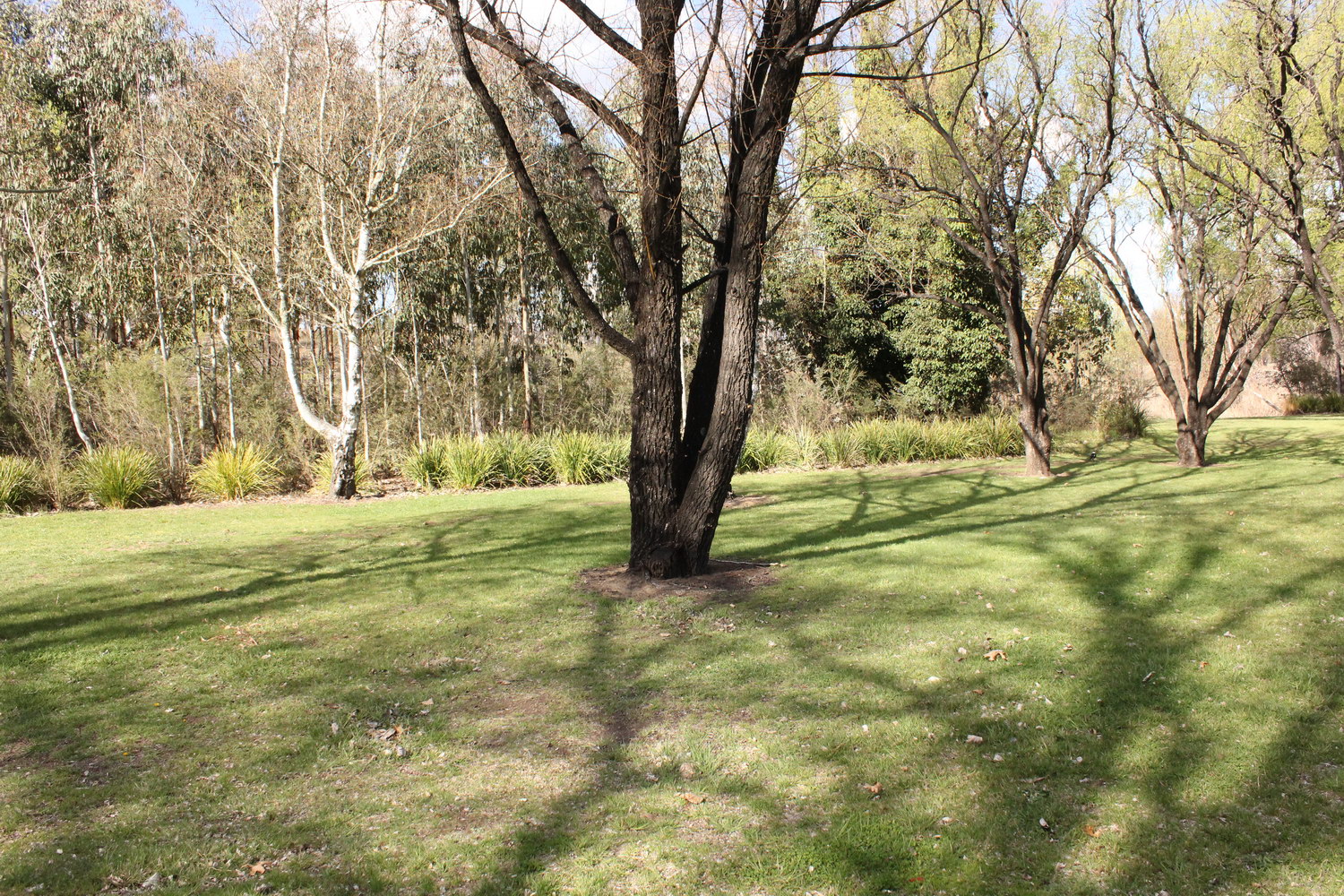
Dumaresq Creek
West of Elm Drive - looking north over older plantings by AURG and Landcare
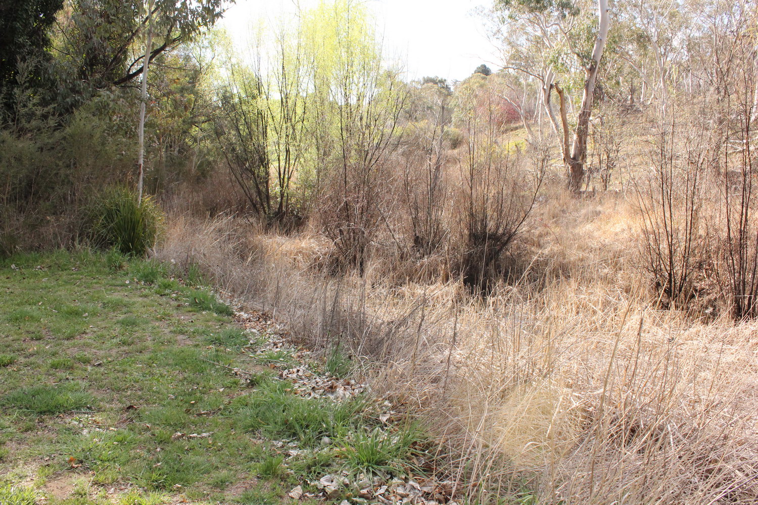
Dumaresq Creek
West of Elm Drive - looking north-west
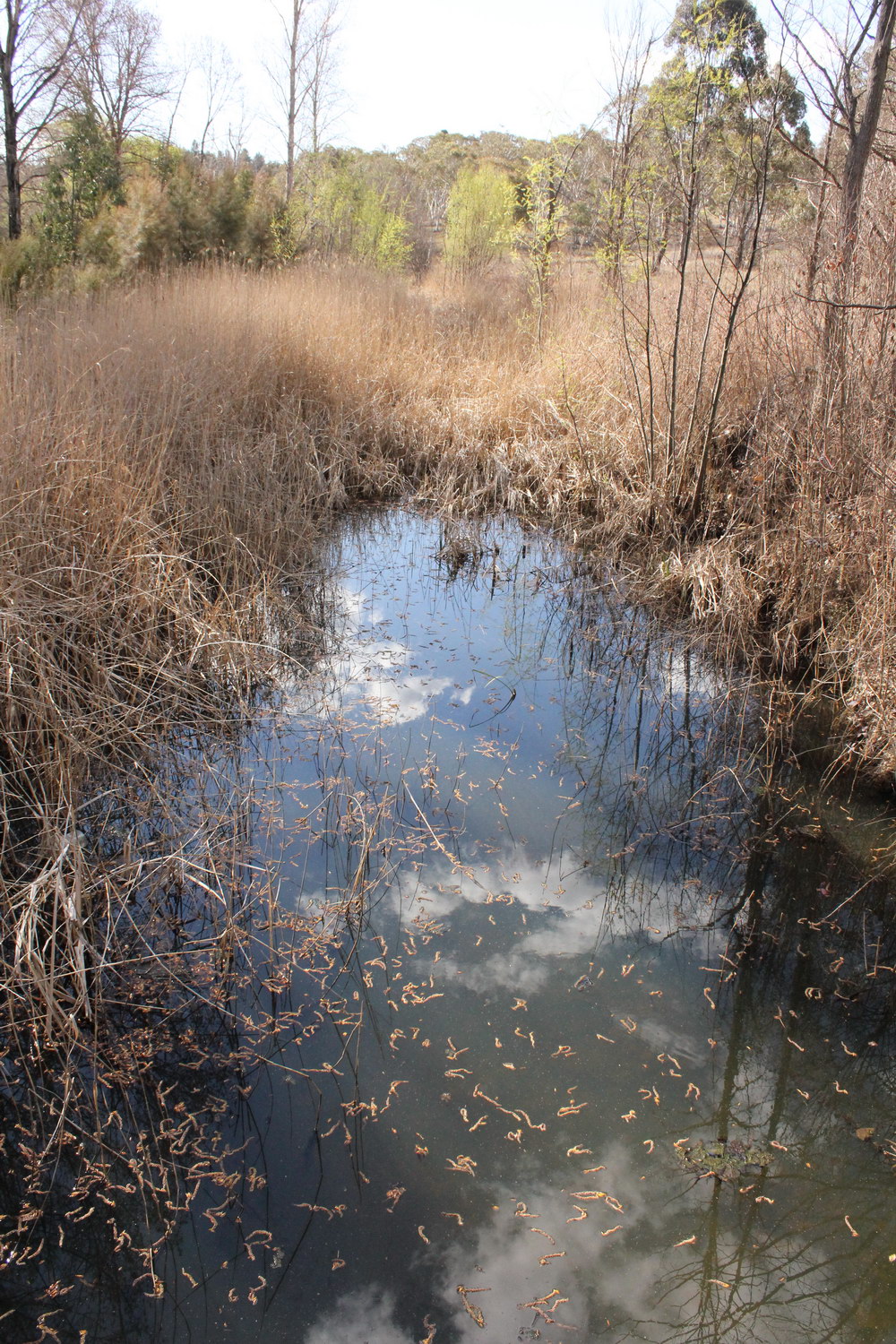
Dumaresq Creek
West of Elm Drive - looking west
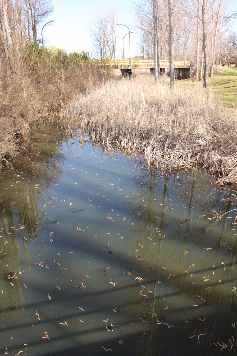
Dumaresq Creek
Looking east towards road bridge on Elm Drive
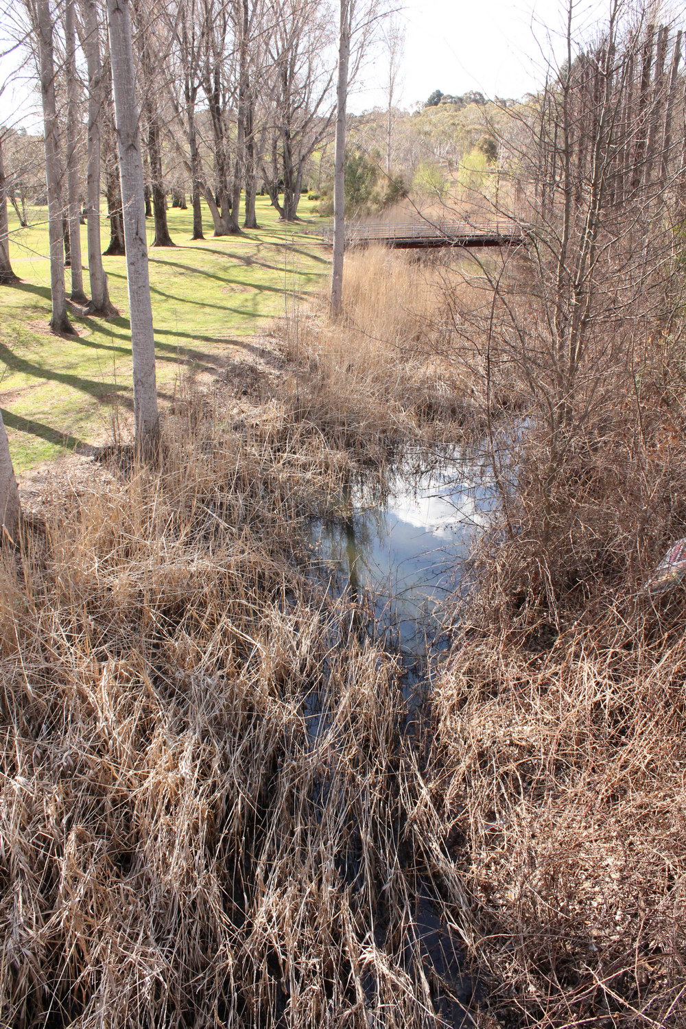
Dumaresq Creek
Looking west from Elm Drive road bridge

Dumaresq Creek
Looking east from Elm Drive road bridge
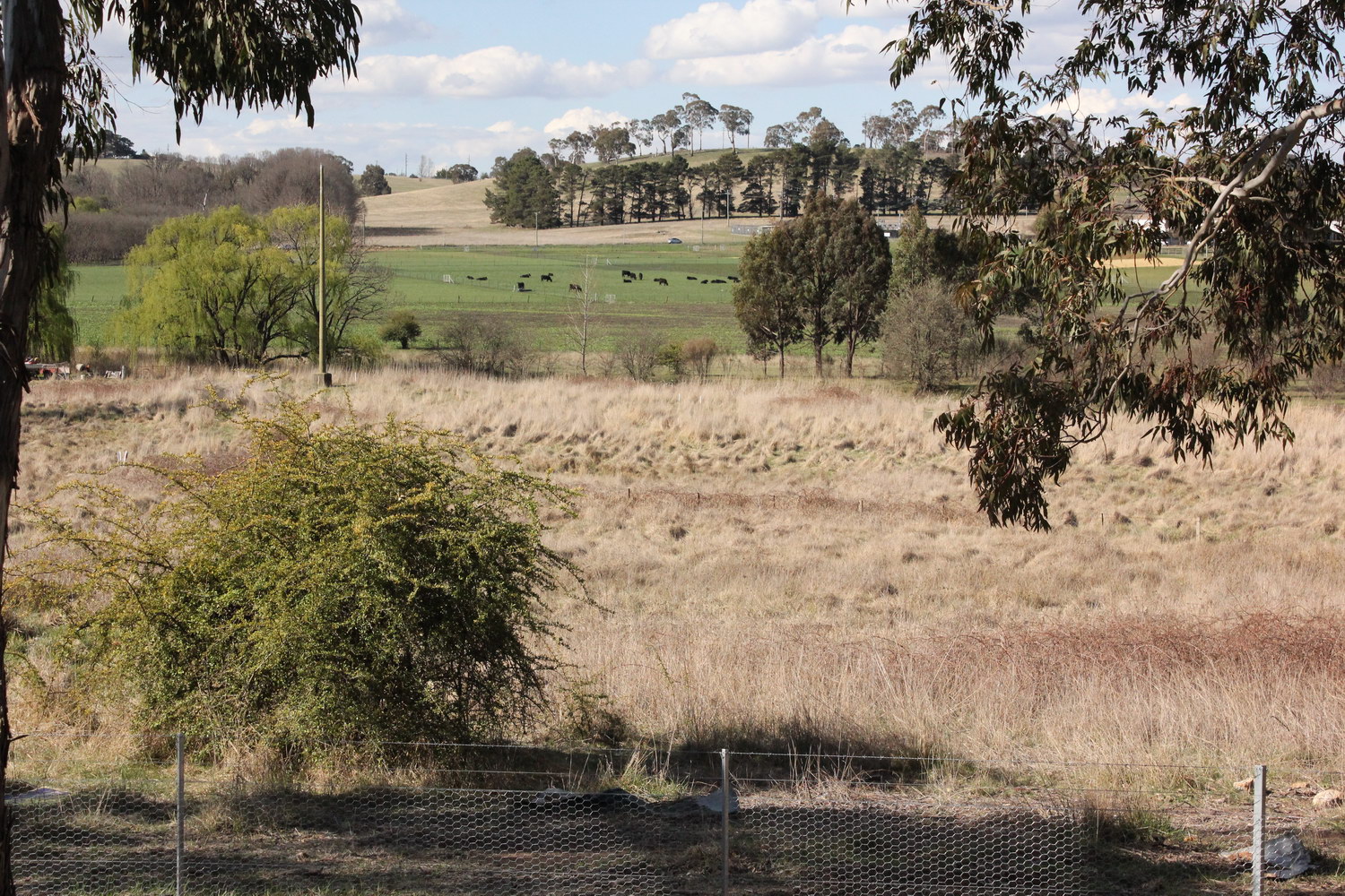
View over Dumaresq Creek
Looking north-east from near Claude St flats with Madgwick Drive in the background
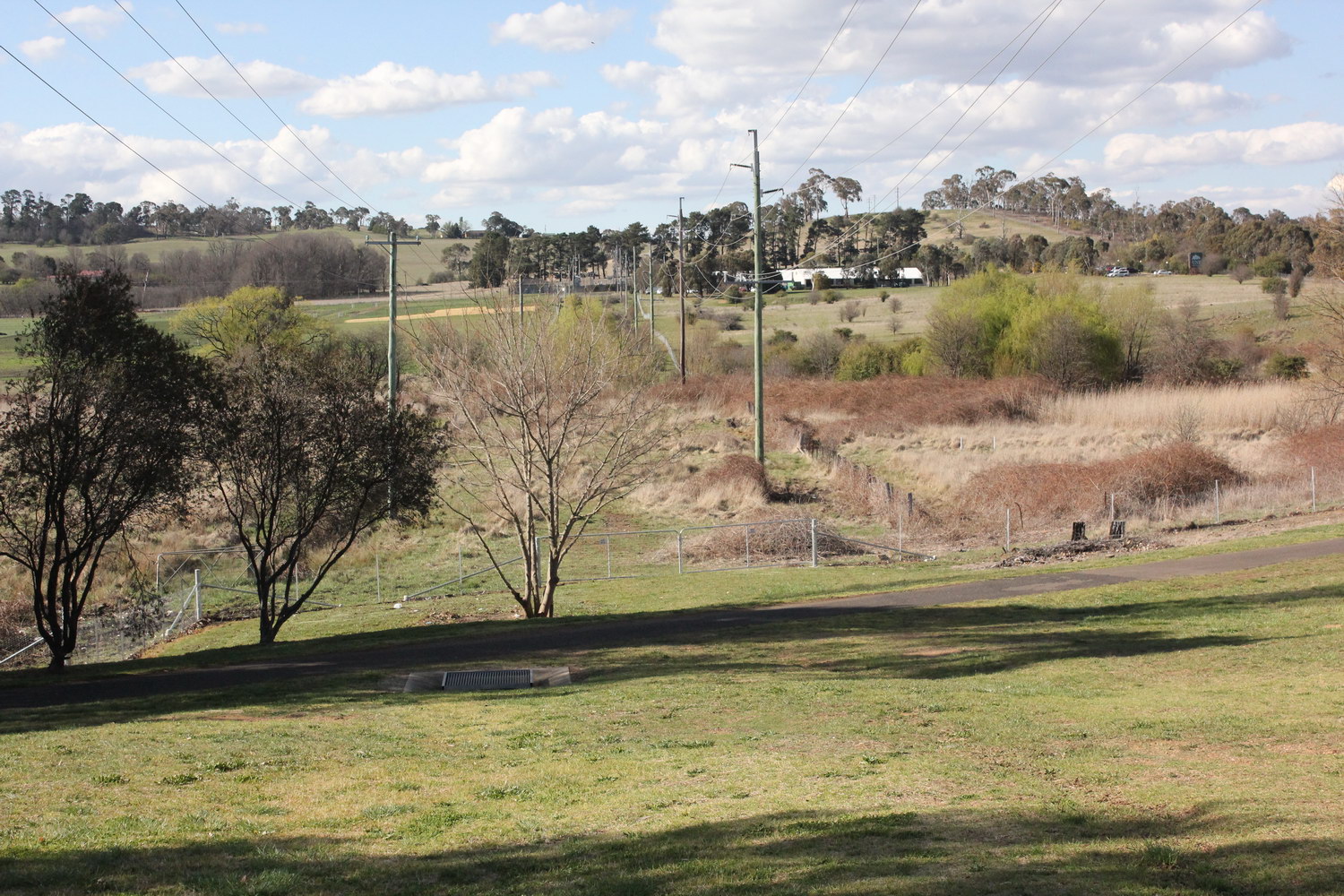
View over Dumaresq Creek
Looking north from Claude St flats
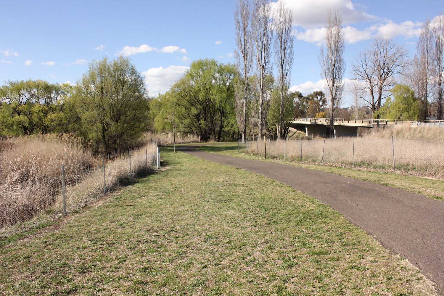
View over Dumaresq Creek
Looking north-east from bicycle track on western side of Widders bridge located on city bypass
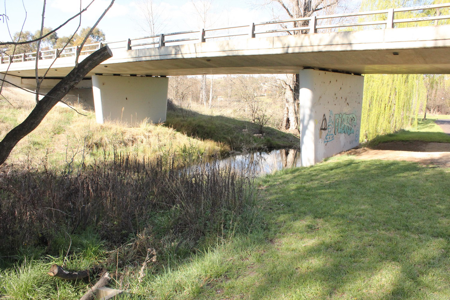
Dumaresq Creek
Looking north east under Widders Bridge
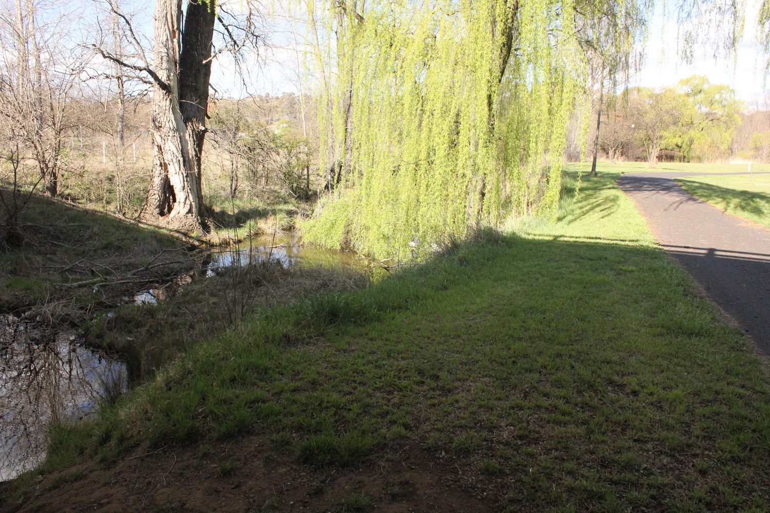
Dumaresq Creek
Looking east from bicycle track under Widders Bridge
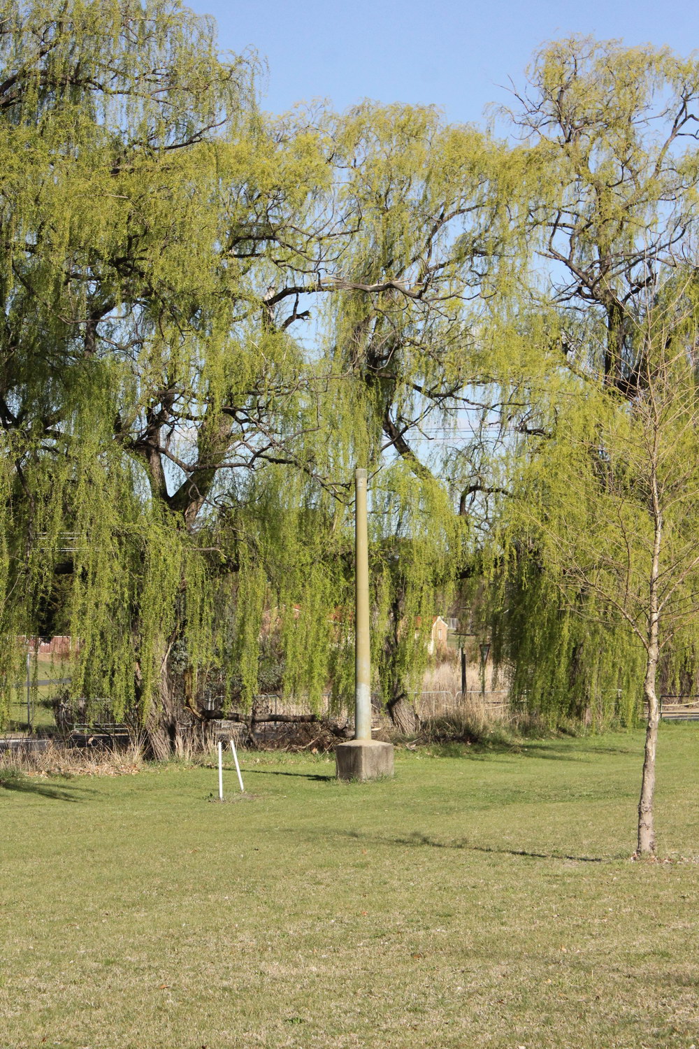
Dumaresq Creek
Being the lowest part of the landscape, the gravity sewage system for Armidale travels along much of the creeklands. This image shows a vent pipe just west of Niagara St.
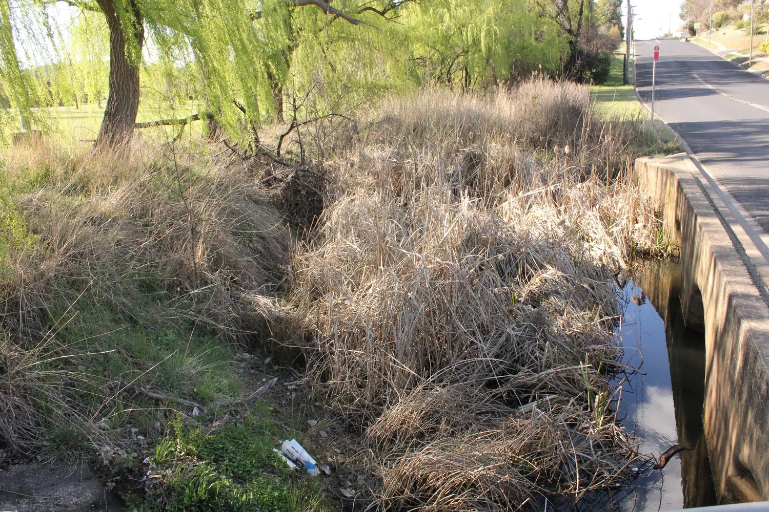
Dumaresq Creek
Western side of Niagara St (northern) bridge

Dumaresq Creek
Looking east from Niagara St (northern) bridge
Dumaresq Creek
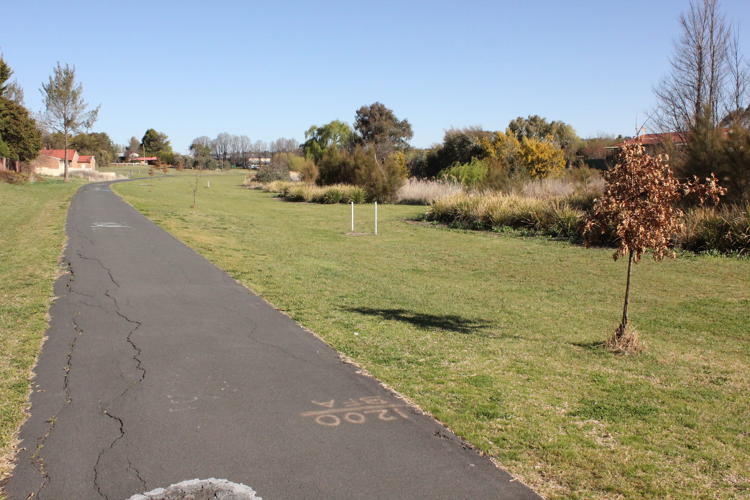
Looking south-east along bike track from near Niagara St. Image shows recent plantings by AURG and Armidale Tree Group

Dumaresq Creek
Looking south under Donnelly St bridge
Dumaresq Creek
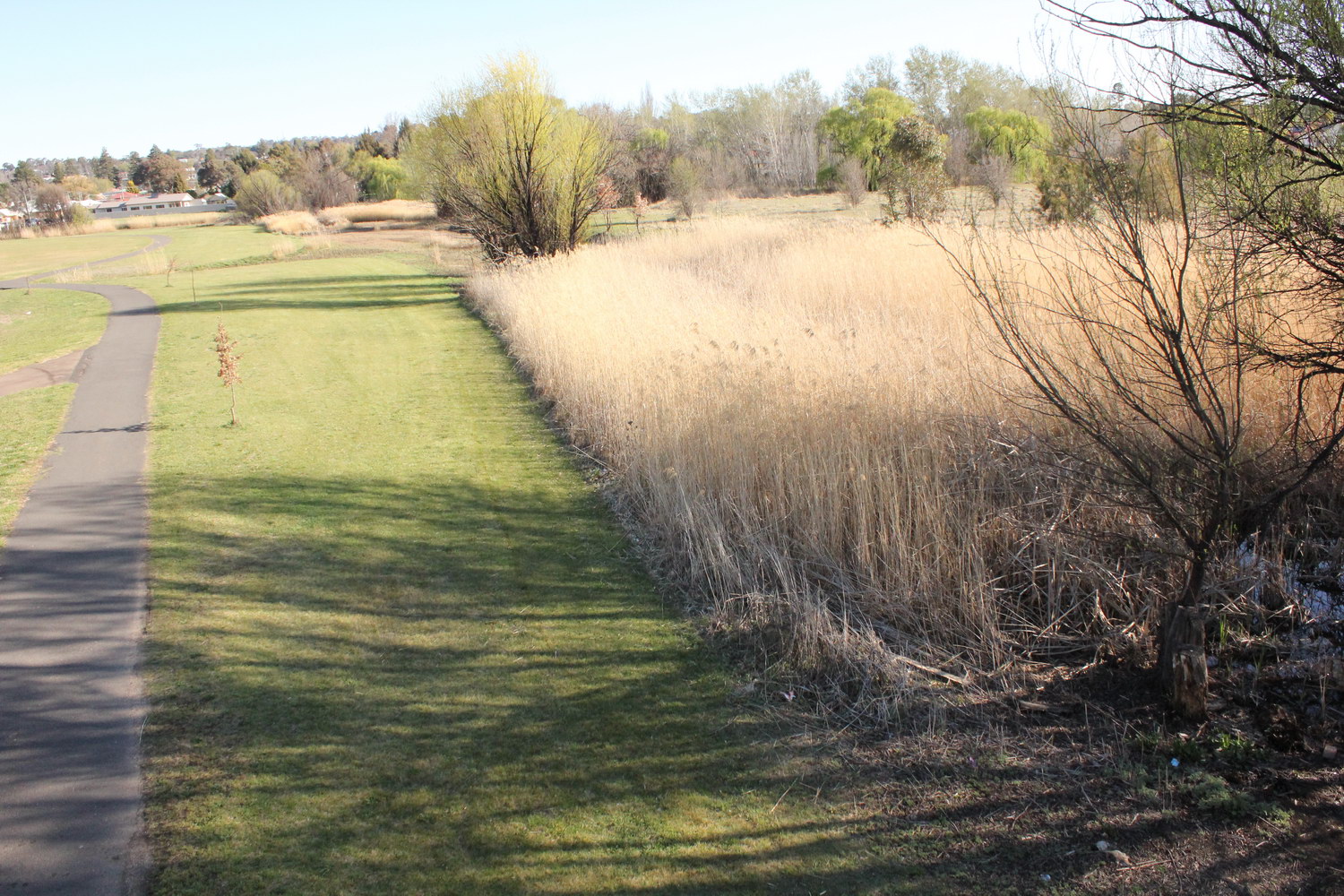
Looking south from Donnelly St bridge
Dumaresq Creek
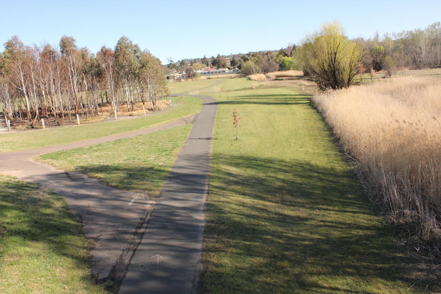
Note the good weed control allowing tree growth in the AURG planting on the LHS of the bicycle track and the lack of weed control around exotic trees planted along RHS of bicycle track, resulting in poor growth of deciduous trees

Dumaresq Creek
Another view south from the Donnelly St bridge

Dumaresq Creek
Looking south-east over Elizabeth Park 2 baseball fields next to bike path

Dumaresq Creek
Looking south-east over footbridge near O’Dell St
Dumaresq Creek
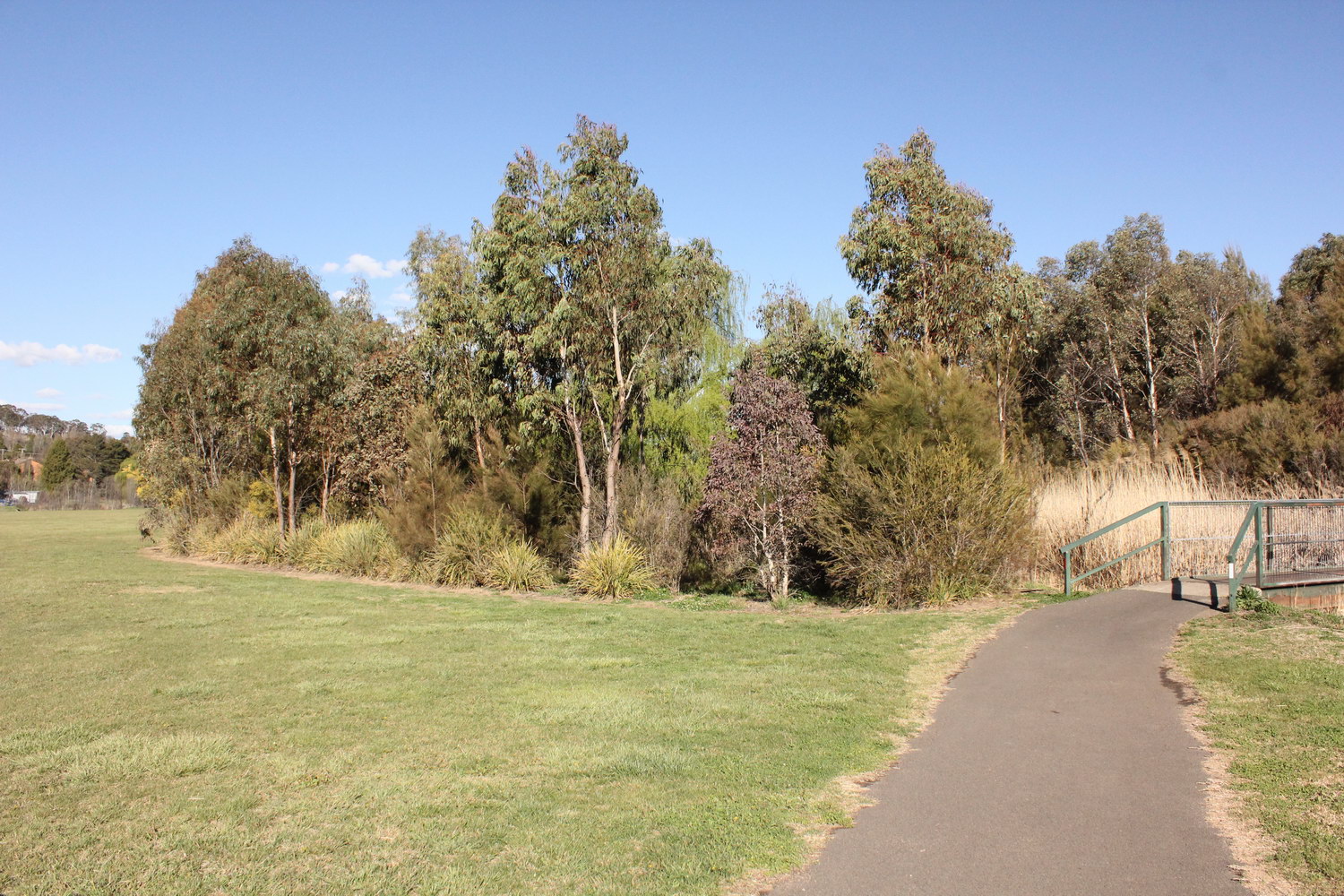
AURG and Armidale Tree Group planting of native vegetation near footbridge over creek near O’Dell St
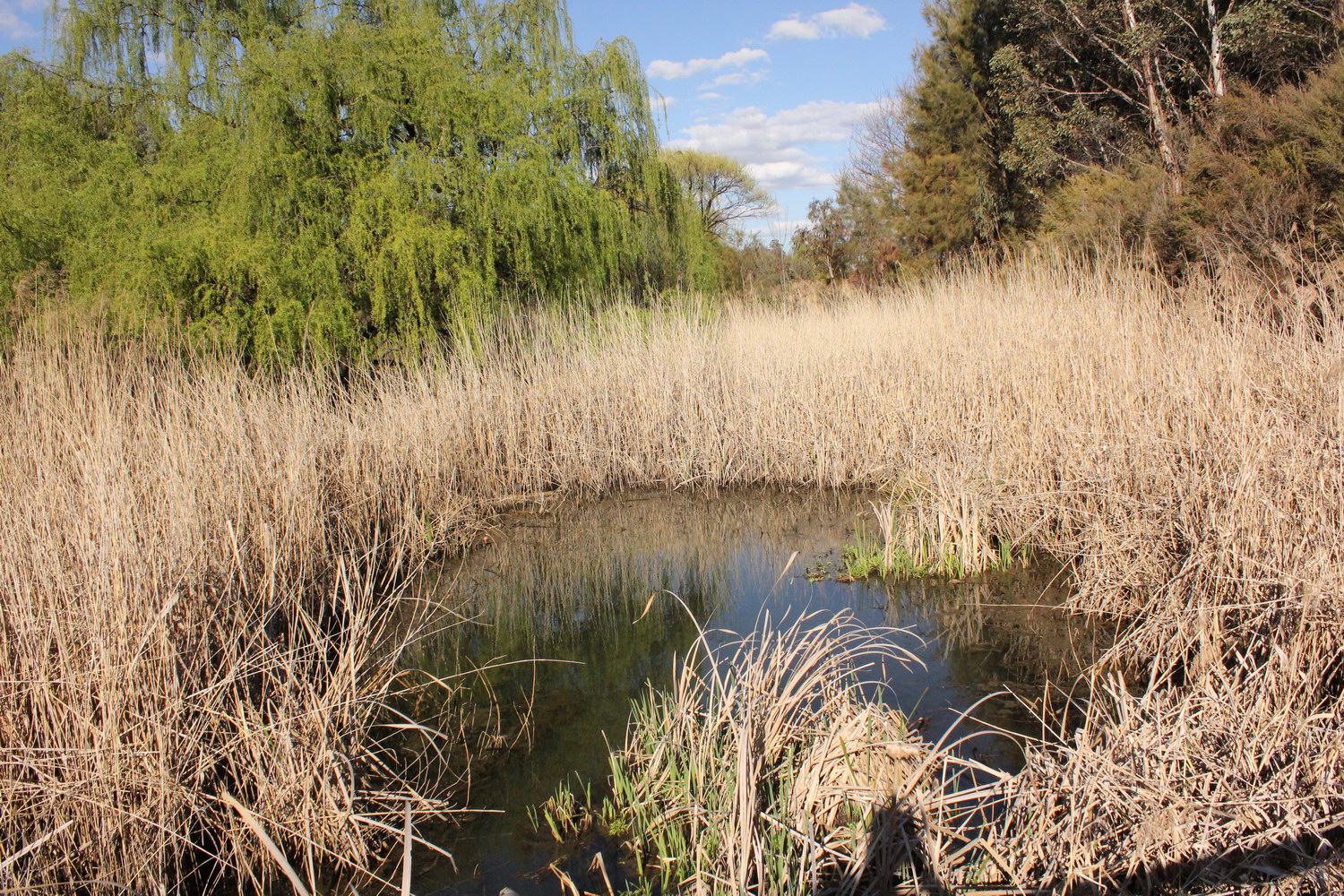
Dumaresq Creek
Looking east from footbridge near O’Dell St
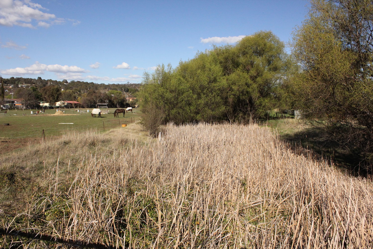
Dumaresq Creek
Looking east from (southern) Niagara St bridge
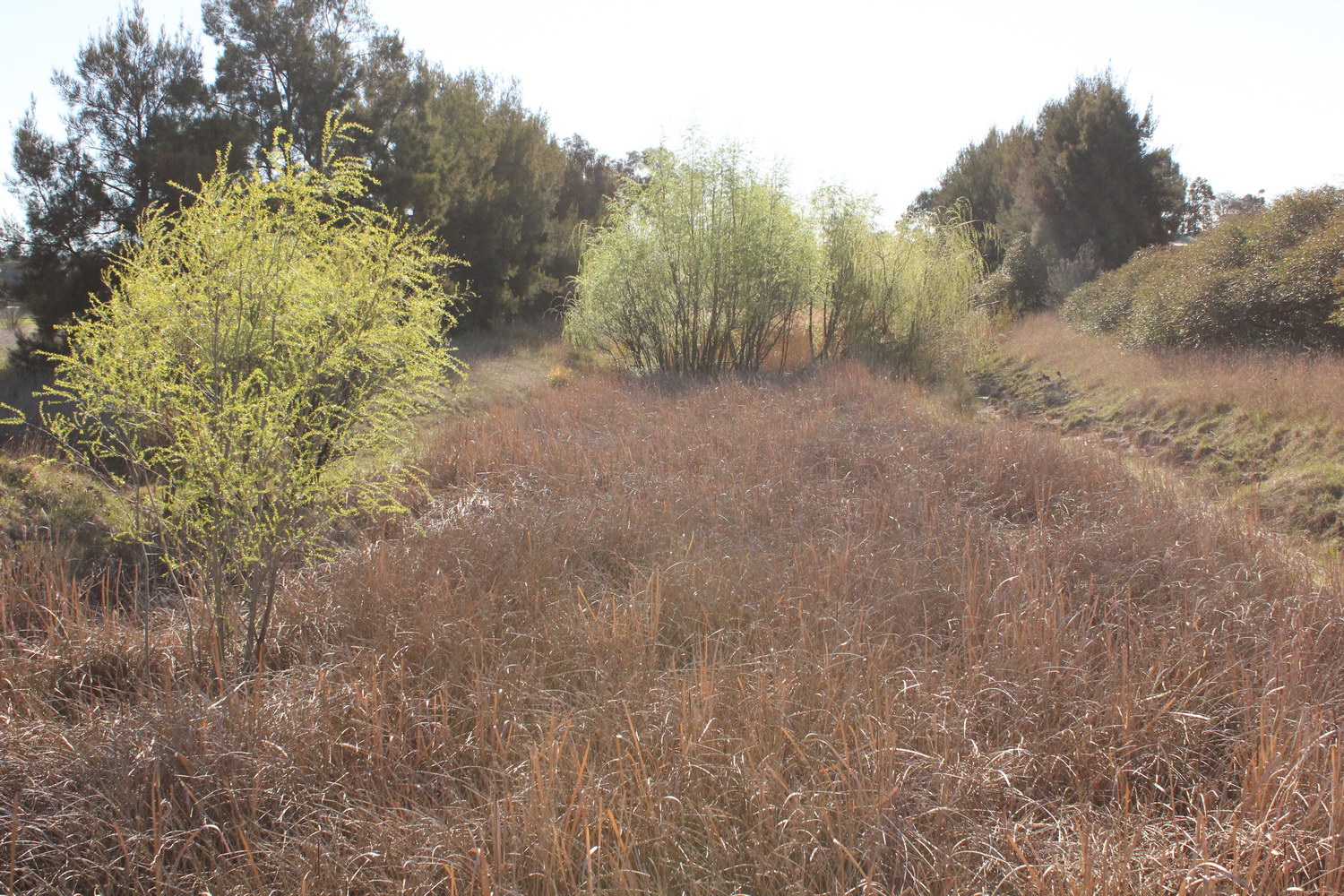
Dumaresq Creek
Looking west from (southern) Niagara St bridge
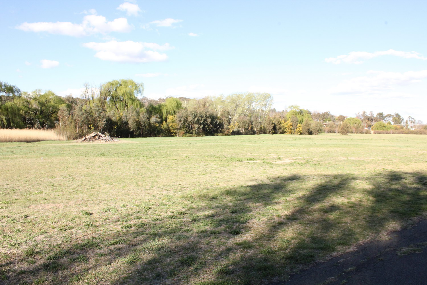
Dumaresq Creek
Looking east over Elizabeth Park 1 towards creekline

Dumaresq Creek
A broader view looking east over Elizabeth Park 1 towards creekline and Kirkwood and Markham St intersection
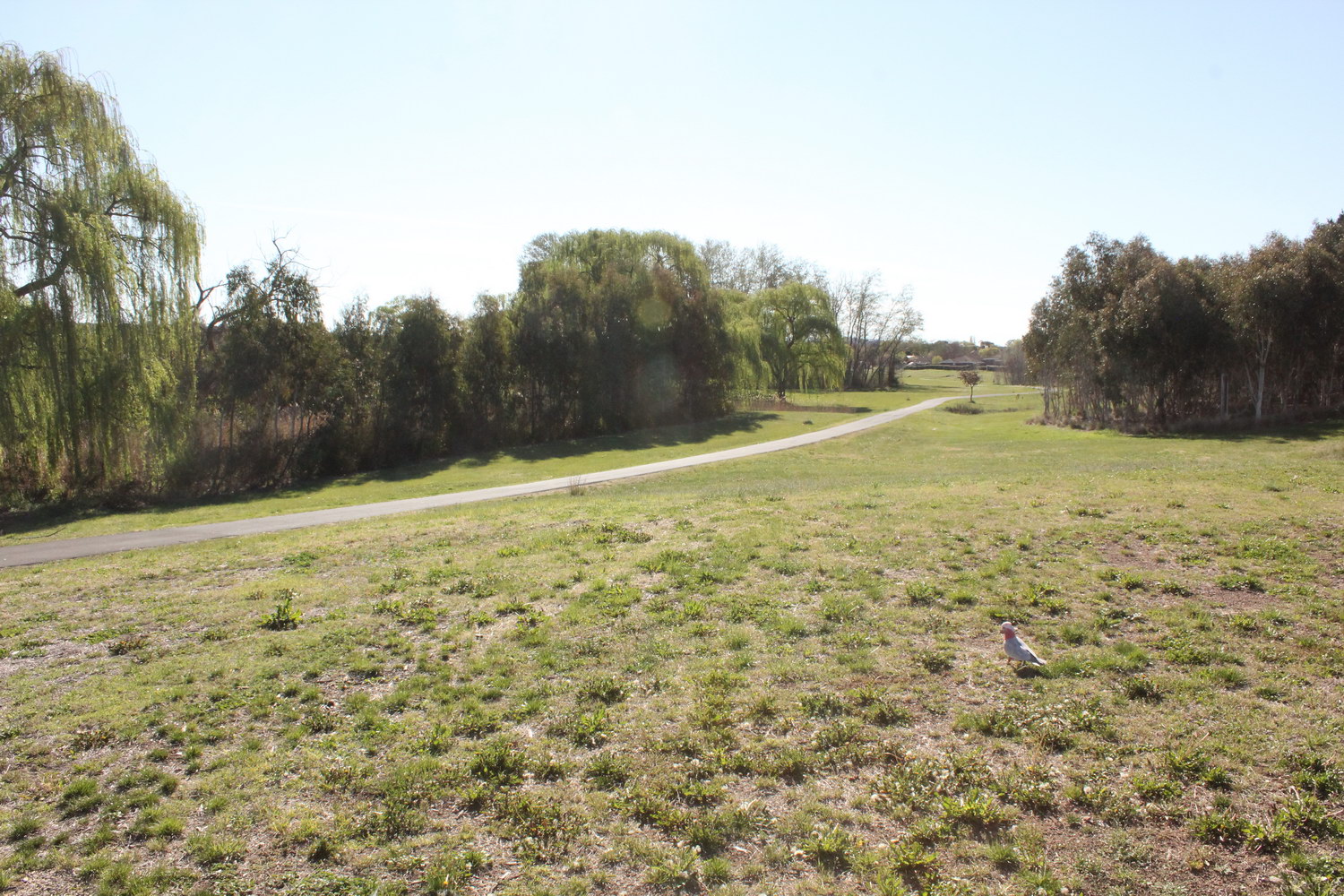
Dumaresq Creek
Looking west from Markham St along bike path with creek on left hand side
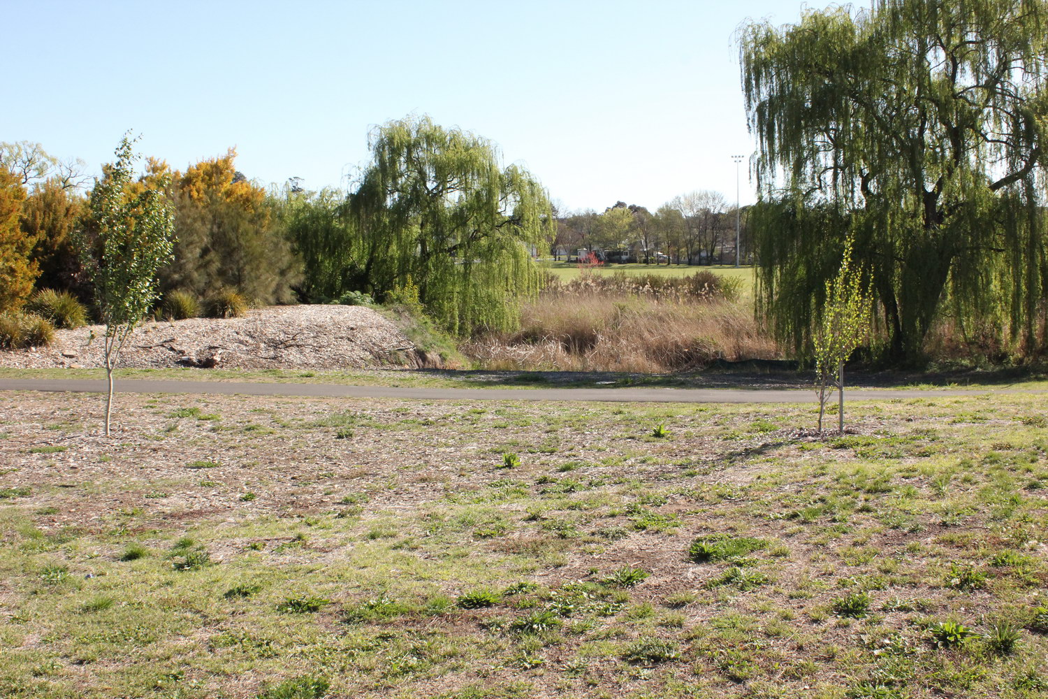
Dumaresq Creek
Looking south-west from Markham St across bike path and creek to Elizabeth Park 1 sporting field
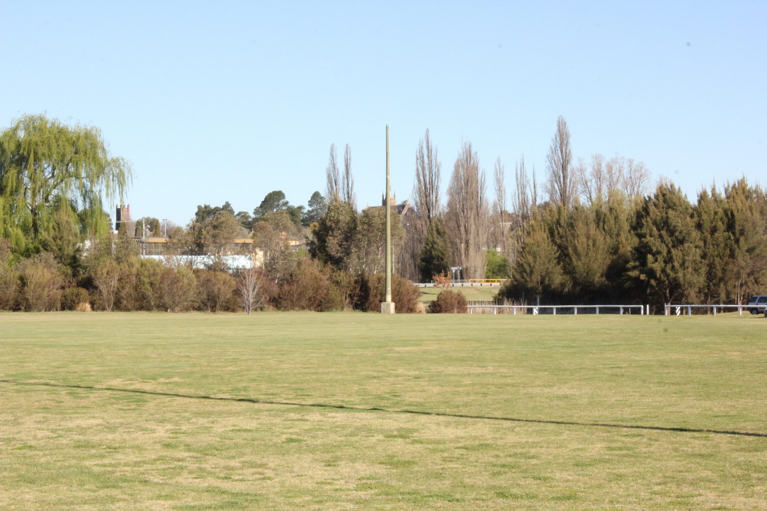
Dumaresq Creek
Looking south-east towards causeway over Dumaresq St just west of Markham St showing another sewage vent pipe
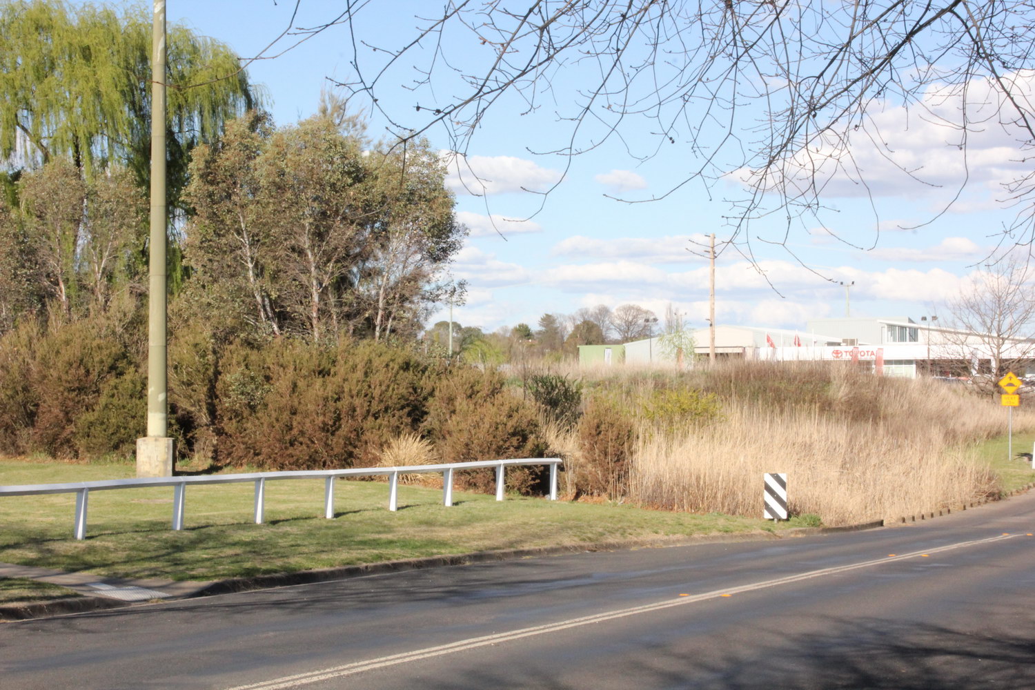
Dumaresq Creek
Northern side of causeway over Dumaresq St (just west of Markham St)
Dumaresq Creek
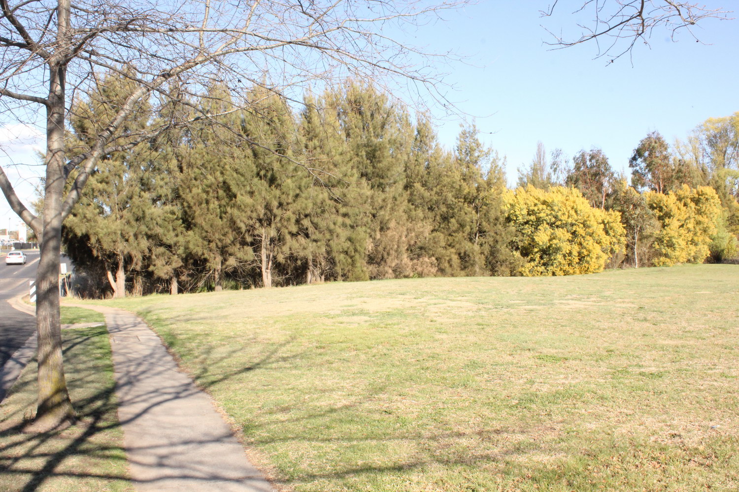
Casuarinas planted by AURG on the southern side of causeway on Dumaresq St (just west of Markham St)
Dumaresq Creek
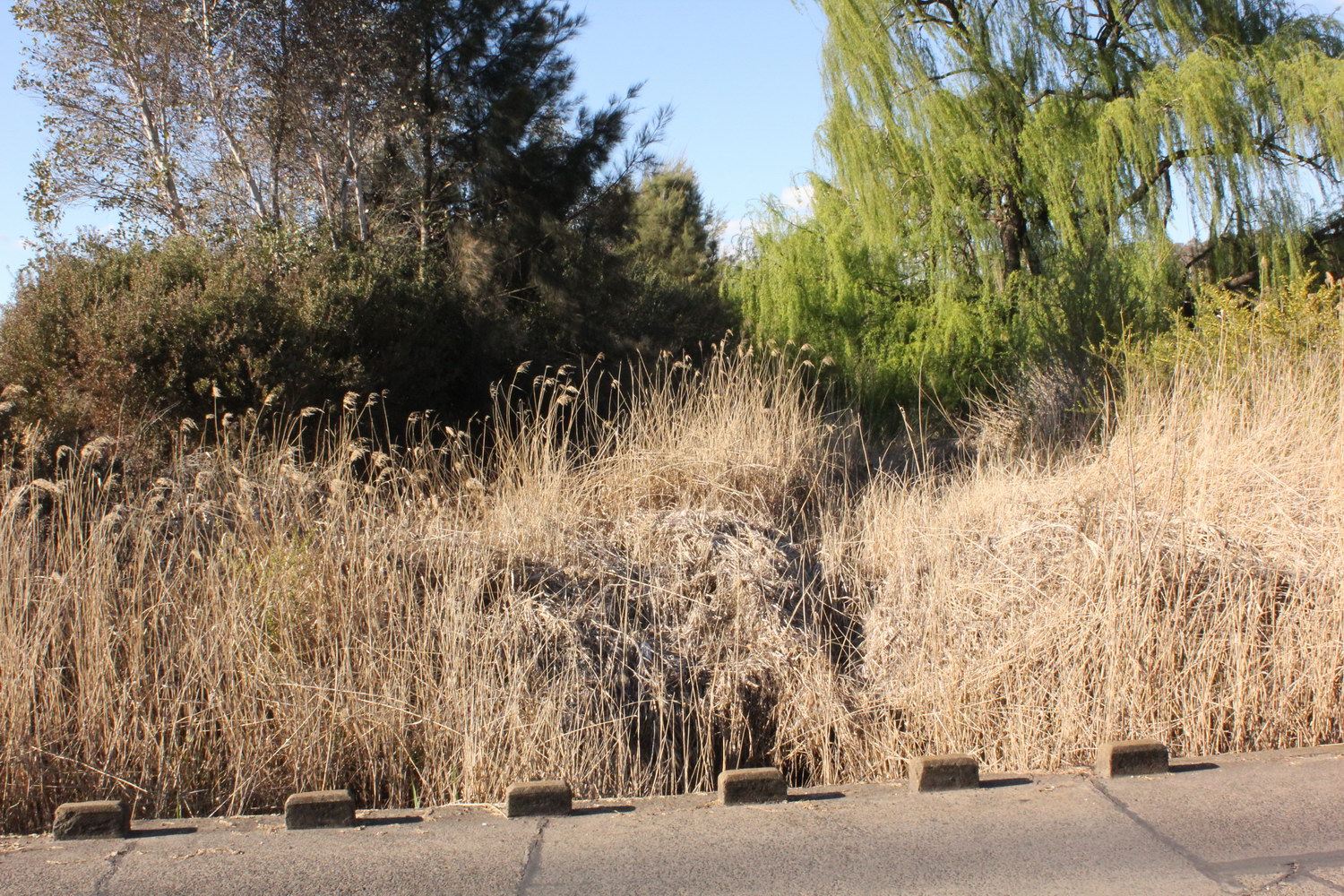
Looking north (upstream) along Dumaresq Creek from the causeway over Dumaresq St (just west of Markham St)
Dumaresq Creek
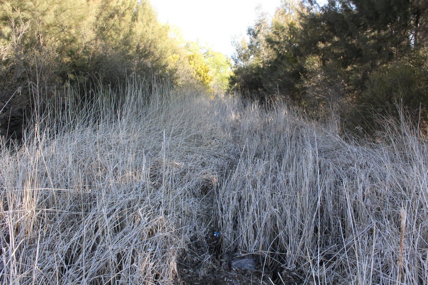
Looking south (downstream) along Dumaresq Creek from the causeway over Dumaresq St (just west of Markham St)
Dumaresq Creek
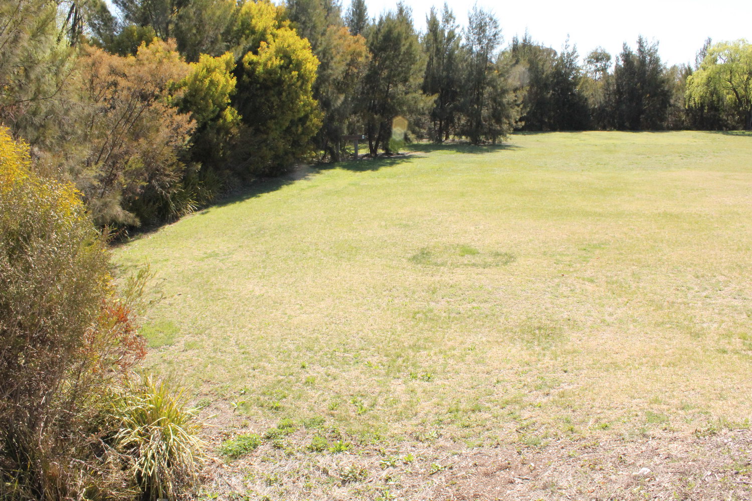
Looking west to AURG plantings along Dumaresq Creek south-west of the intersection between Dumaresq and Markham Sts
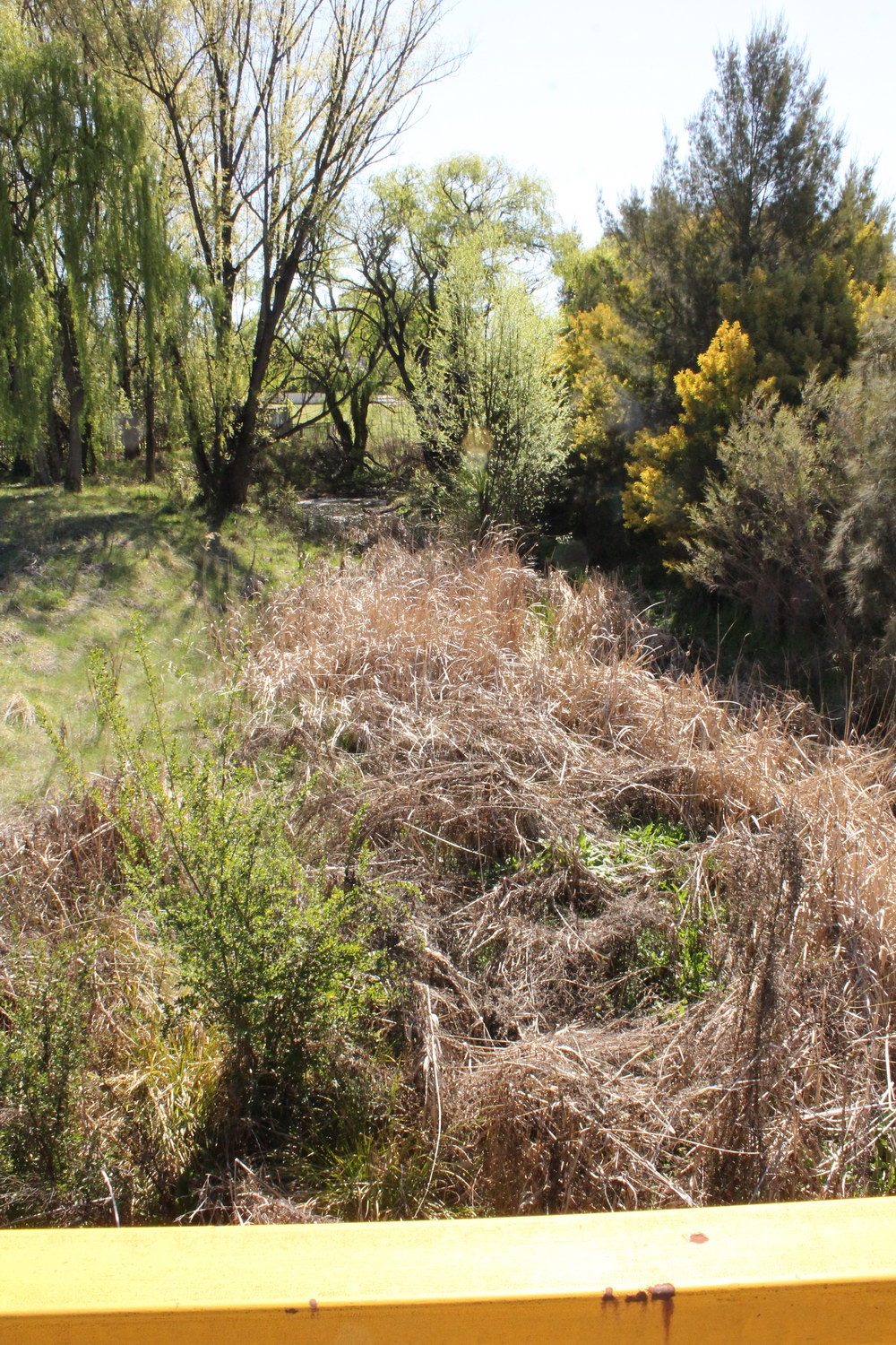
Dumaresq Creek
Looking west along creek from Markham St bridge
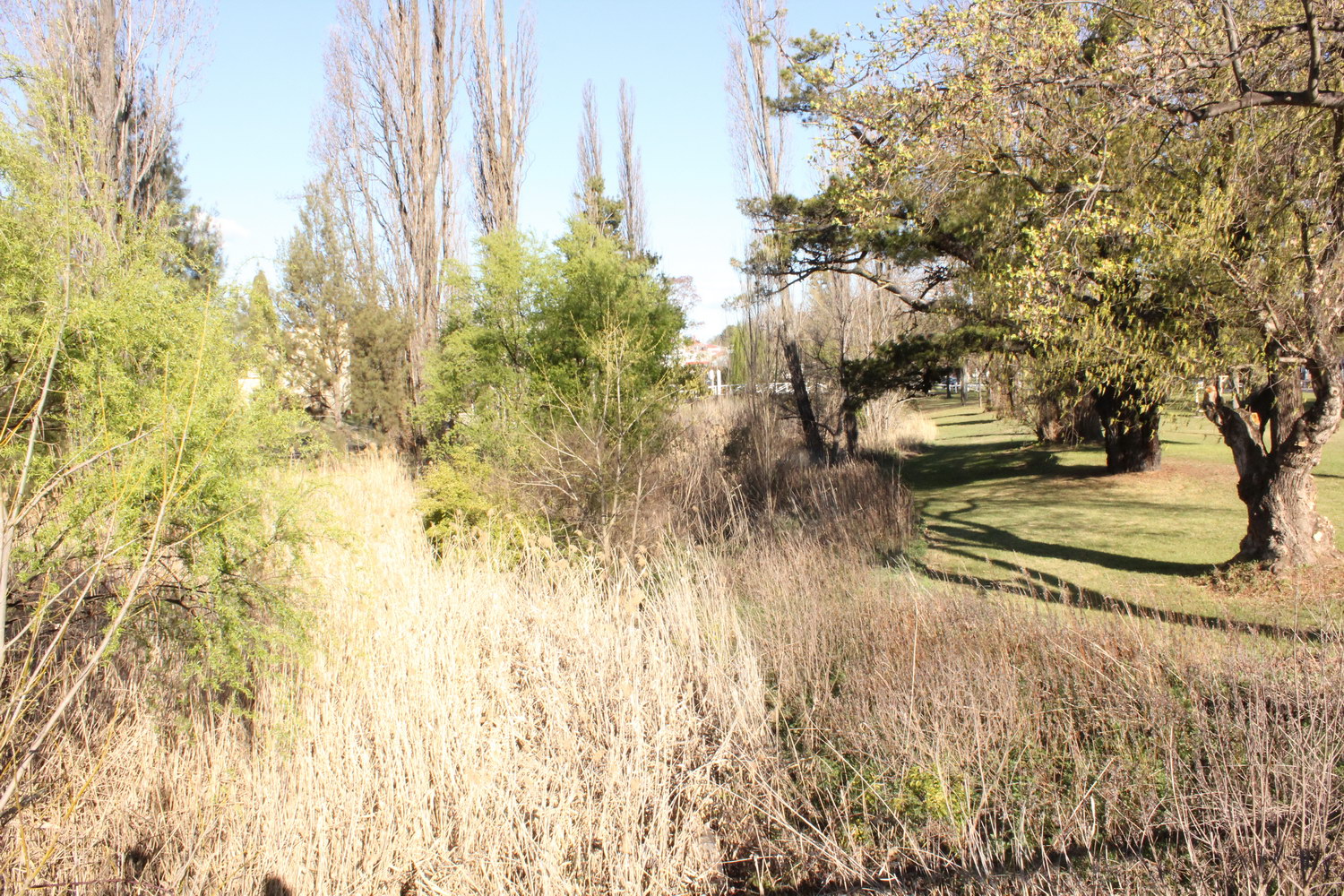
Dumaresq Creek
Looking east along creek from Markham St bridge towards old wooden footbridge (just to the north of TAFE)
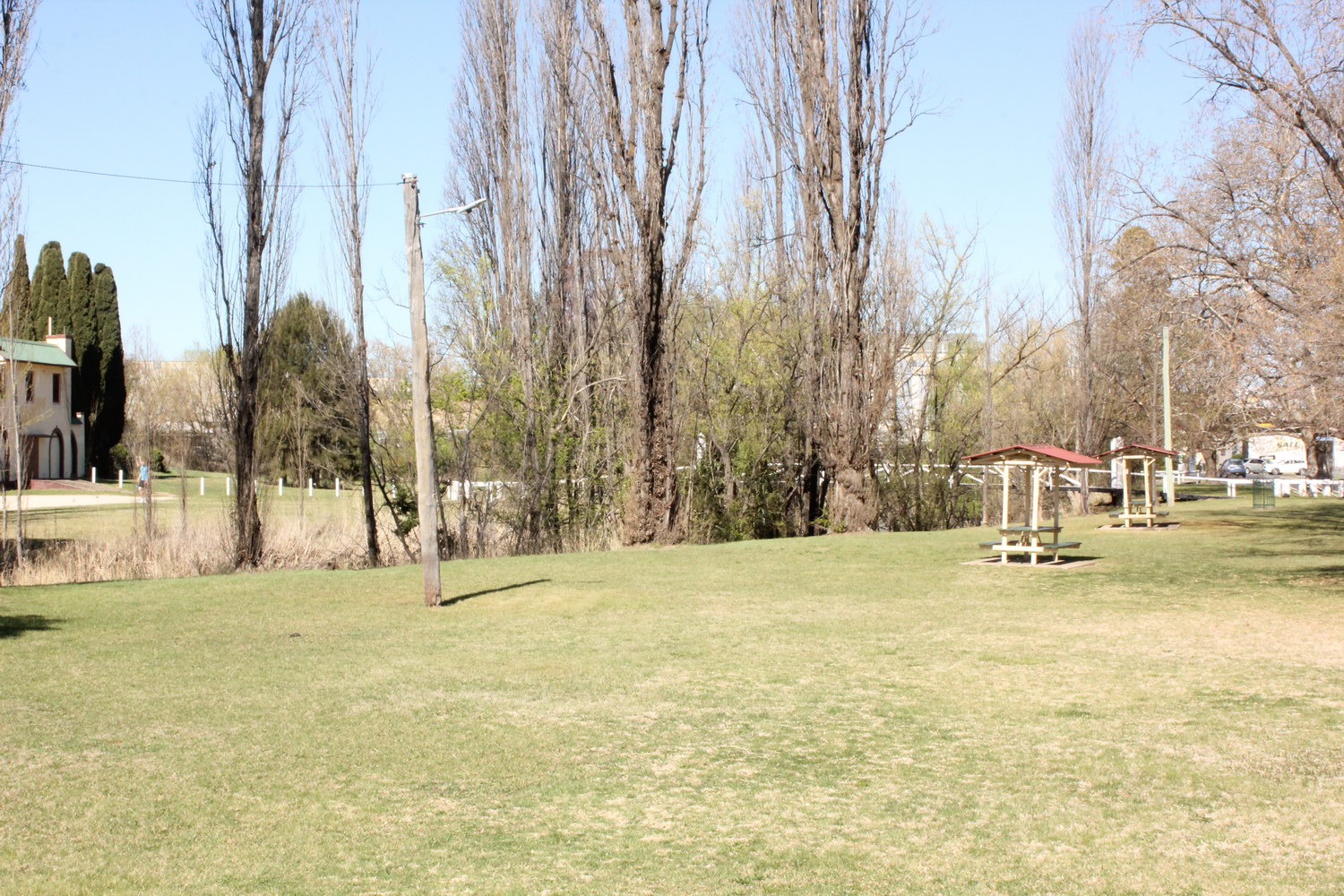
Dumaresq Creek
Looking east along Dumaresq Creek towards old wooden footbridge between Beardy St and the old entrance to the swimming pool
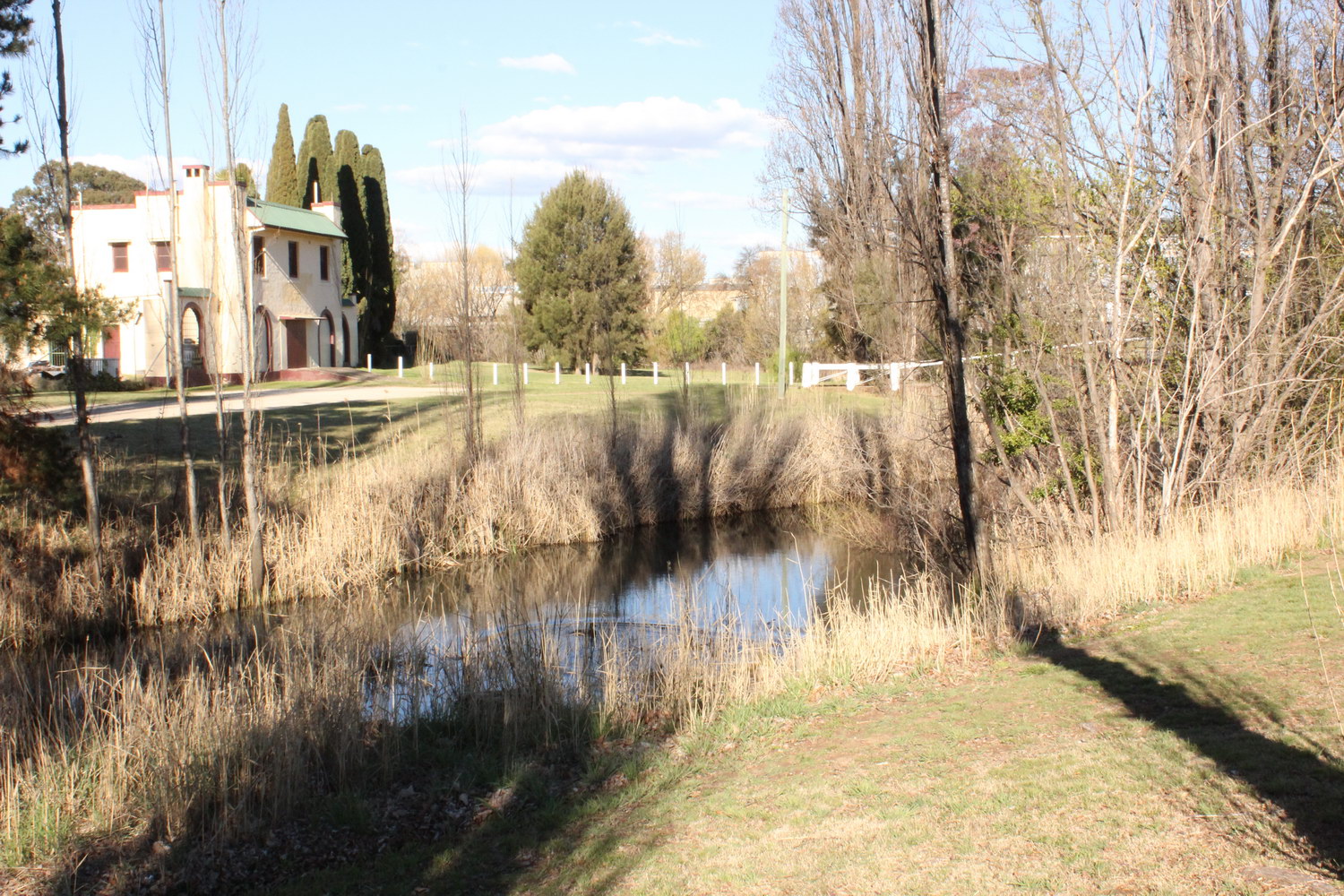
Dumaresq Creek
Looking east over billabong located just west of the old wooden footbridge (near TAFE and old entrance to swimming pool)
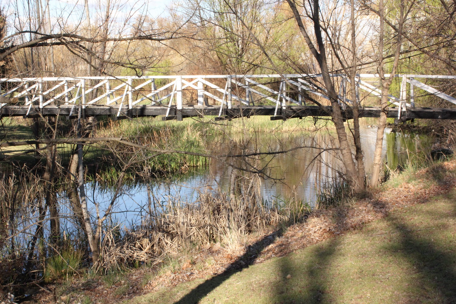
Dumaresq Creek
Close-up of old wooden bridge between Beardy St and old swimming pool entrance
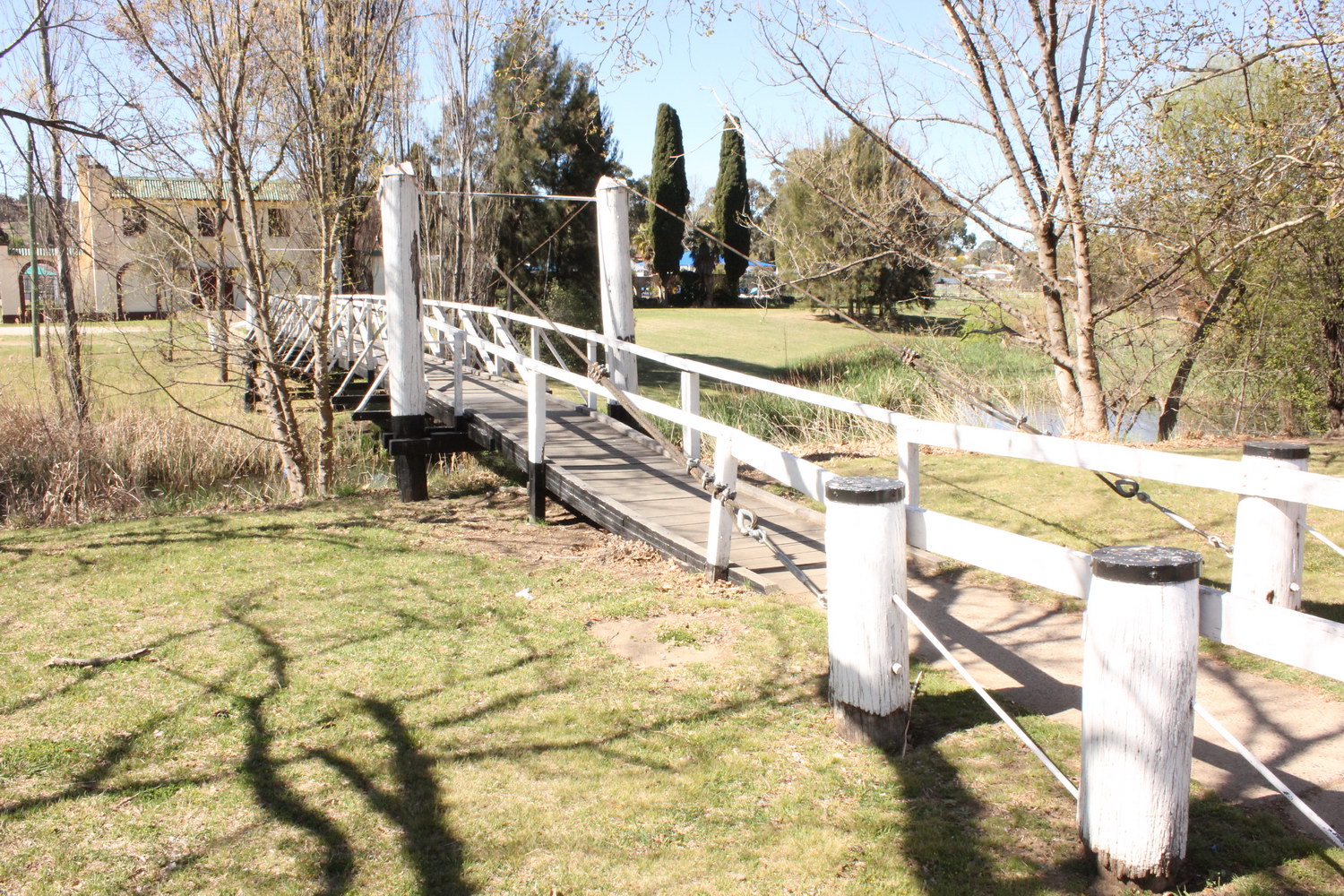
Dumaresq Creek
Looking north-east over old wooden bridge over creek between Beardy St and old entrance to swimming pool

Dumaresq Creek
Looking north-east from old wooden bridge over billabong

Dumaresq Creek
Looking east from old wooden bridge over billabong located to the west of Armidale Central Shopping Centre (Woolworths complex)

Dumaresq Creek
Looking north along overgrown section of creek located just west of Armidale Central Shopping Centre (Woolworths complex)

Dumaresq Creek
Looking north-east along western edge of Armidale Central Shopping Centre with creek immediately to the left below trees
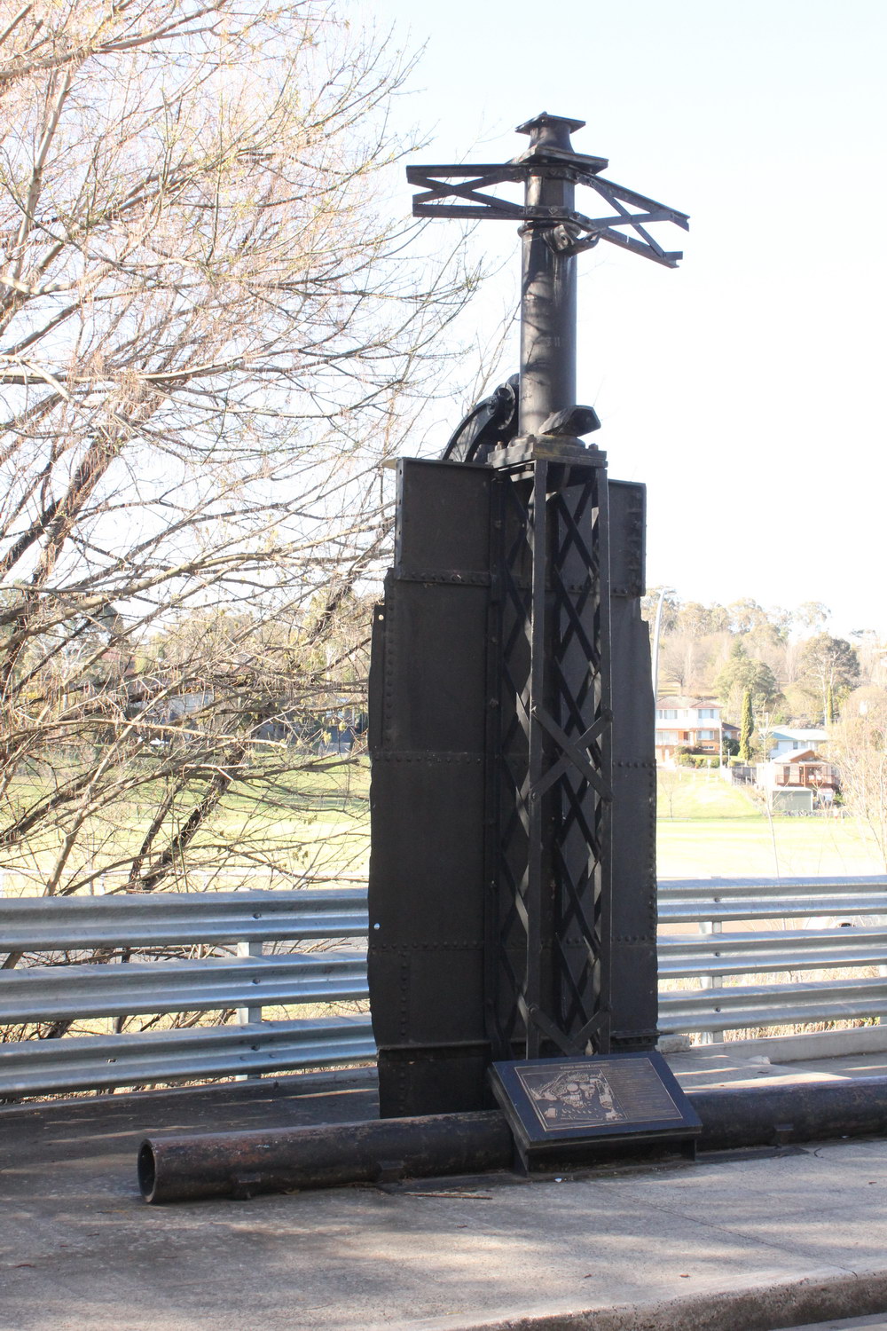
Sculpture at site of old gas works
Located on the edge of Dumaresq Creek, the land on which the old gas works was situated, was remediated as part of the construction of the Armidale Central Shopping Centre
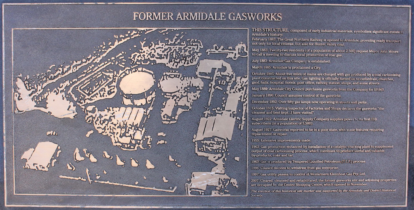
Plaque below sculpture noting position of old gas works
Historical site marker showing a brief history of the site from 1885 to 2007
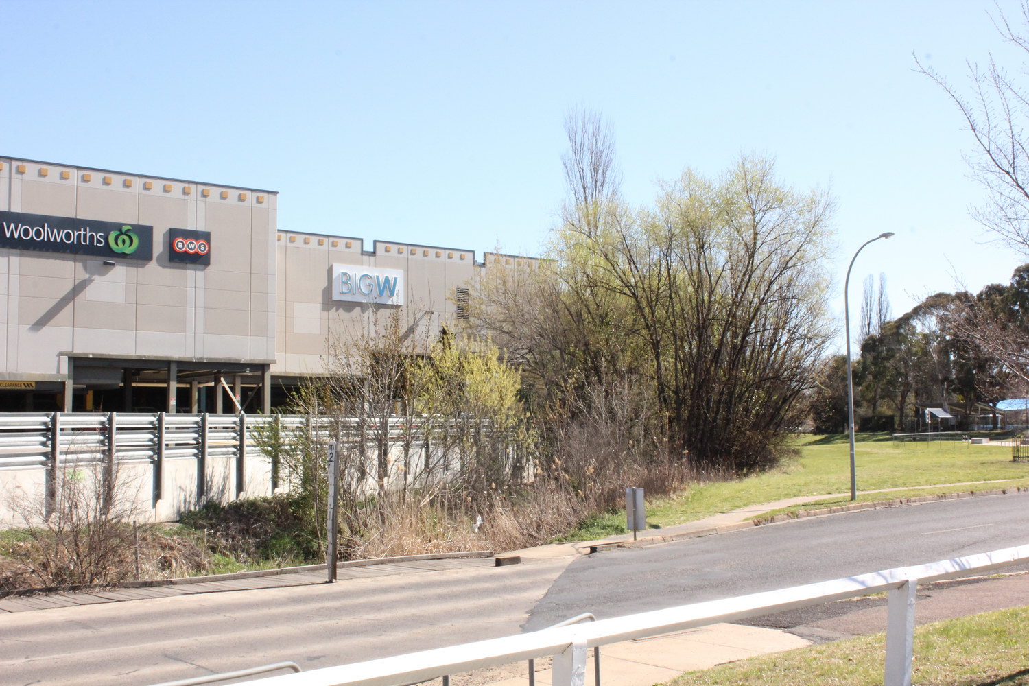
Dumaresq Creek
Looking south-west from Dumaresq St causeway (eastern) along creek adjacent to Armidale Central Shopping Centre (Woolworths complex)
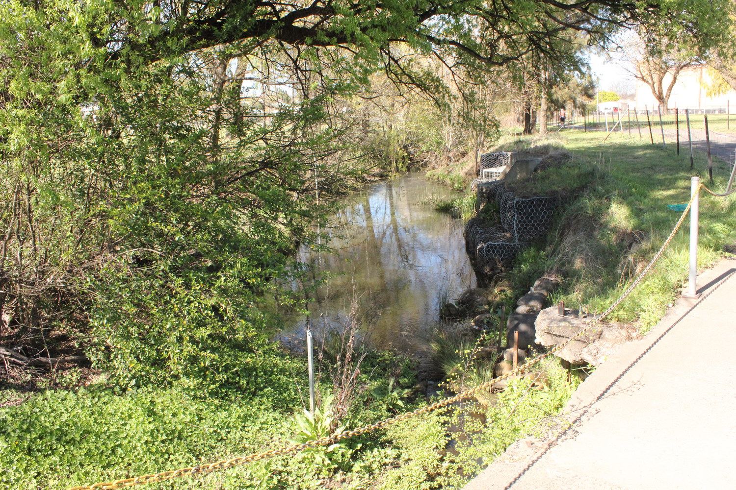
Dumaresq Creek
Looking north-east from Dumaresq St causeway (eastern) along Dumaresq Creek which travels along the northern edge of the Belgrave Cinema and Ex-Services Club

Area of contaminated soil adjacent to bicycle path
Looking east towards Belgrave Cinema showing fenced-off area of grass due to soil contamination; Dumaresq Creek is located on the LHS of the bicycle path
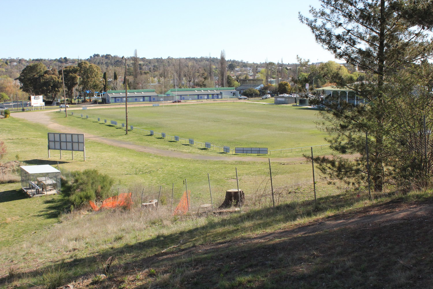
Rugby Park and Monckton Aquatic Centre
Looking south-west from Kirkwood St over Rugby Park with Dumaresq Creek located behind the Monckton Aquatic Centre
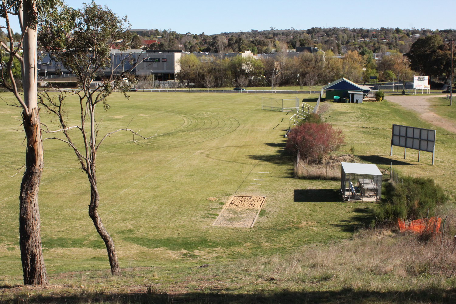
Dumaresq Creek
Looking south from Kirkwood St over the athletics field on Harris Park with the trees along the creek visible along the edge of the Armidale Central Shopping Centre
Dumaresq Creek
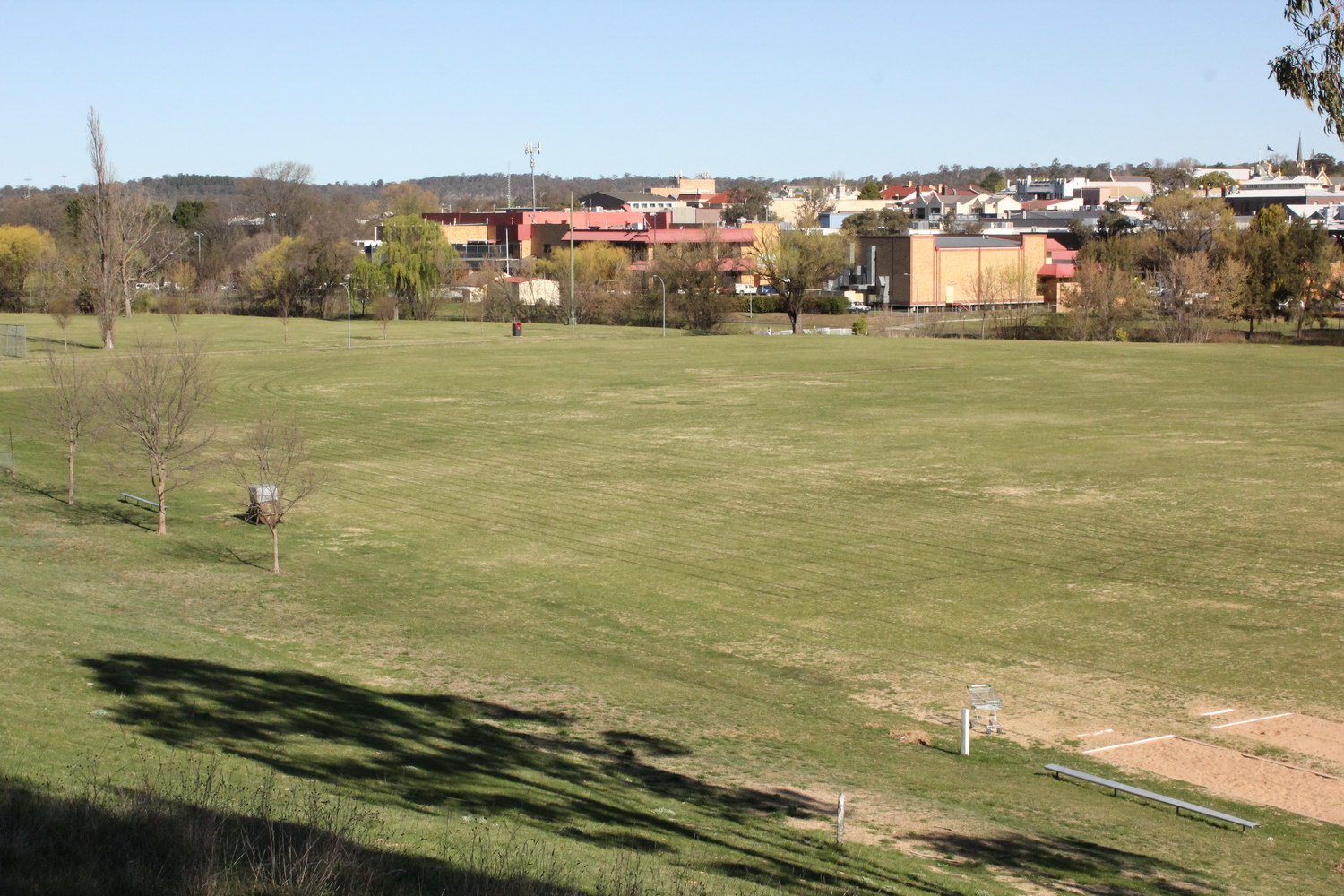
Looking south-east from Kirkwood St over Harris Park with the trees along the creek visible just to the north of the Belgrave Cinema and Ex-Services Club
Harris Park
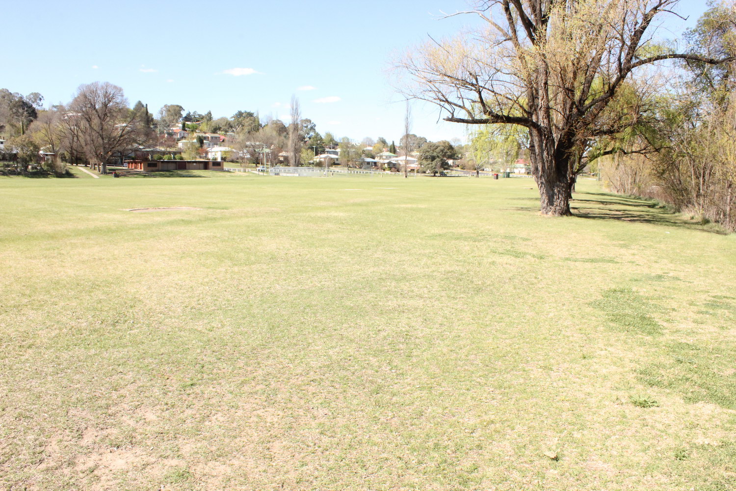
Looking east over Harris Park showing athletics club building on the left of the Park and a row of willows on the right hand side adjacent to Dumaresq Creek
Harris Park
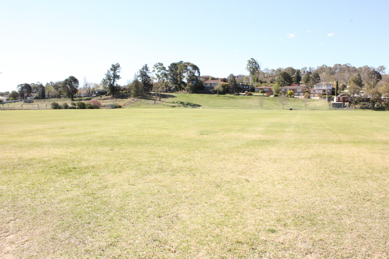
Looking north over Harris Park from Dumaresq Creek showing and area of higher, sloping topography next to Kirkwood St
Dumaresq Creek
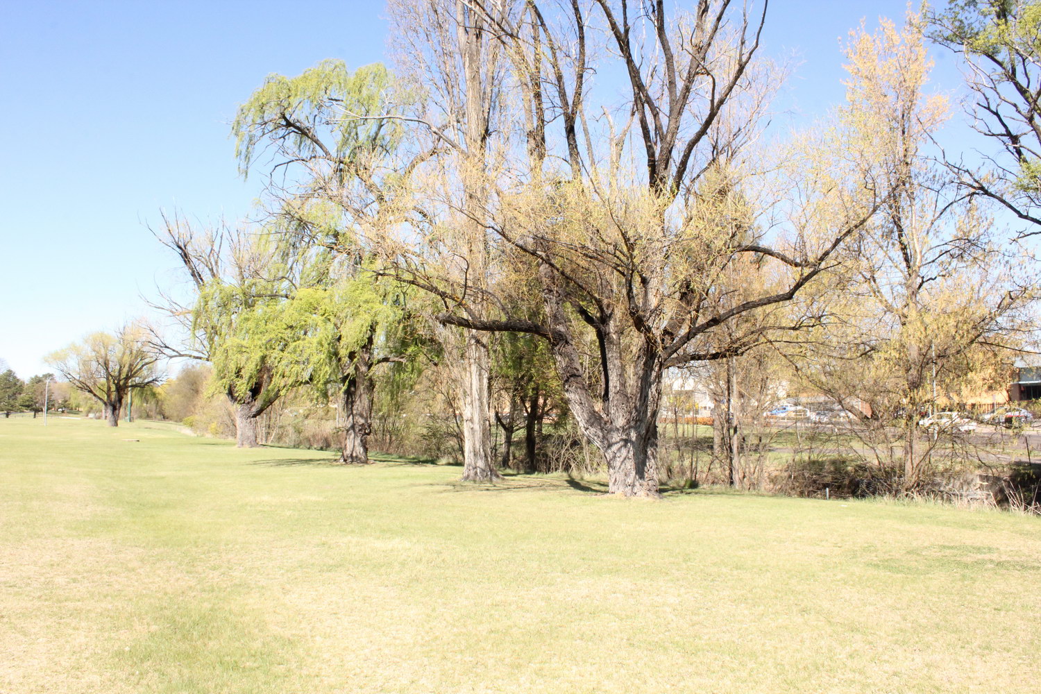
Looking east along row of willows adjacent to Dumaresq Creek (just north of the Ex-Services Club)

Dumaresq Creek
Looking west over Dangar St causeway along the creek (just to the north of the Ex-Services Club)
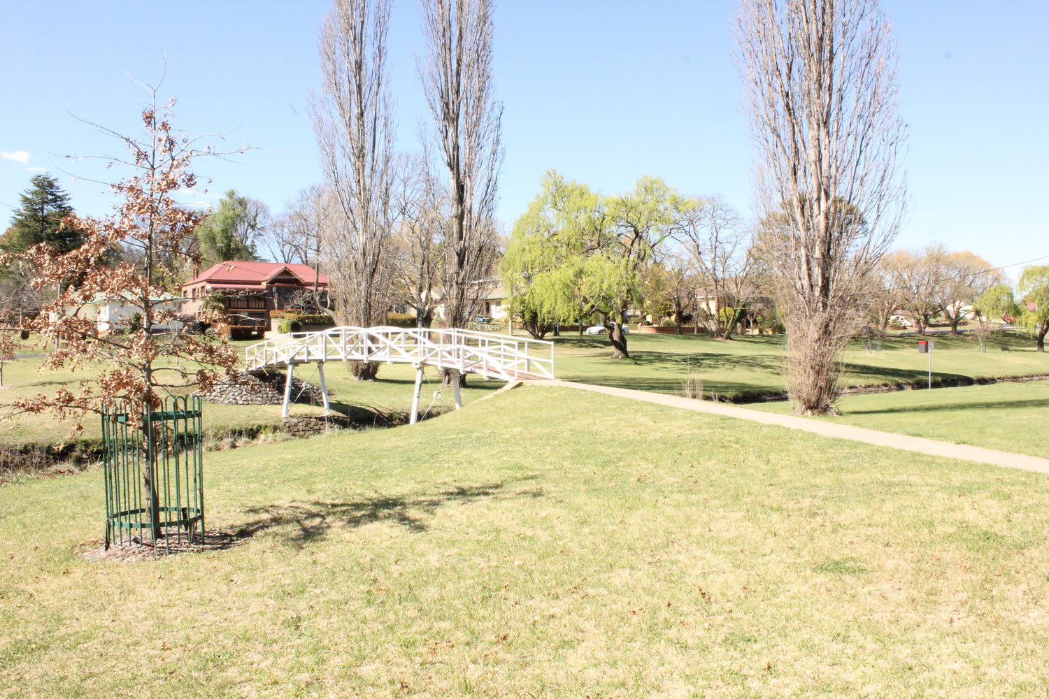
Dumaresq Creek
Looking north-east from Dangar St towards Kirkwood St over footbridge crossing Dumaresq Creek
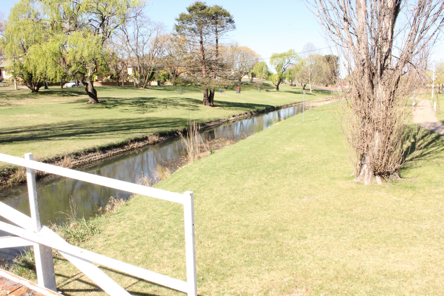
Dumaresq Creek
Looking east along Dumaresq Creek as it passes through Civic Park
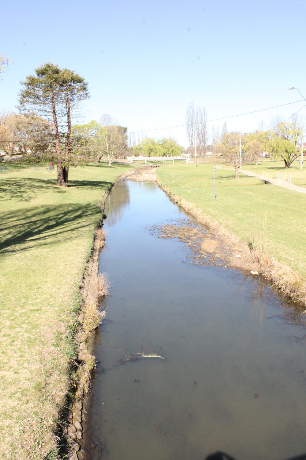
Dumaresq Creek
Looking east along Dumaresq Creek towards Faulkner St causeway and footbridge showing parts of Civic Park and bicycle track
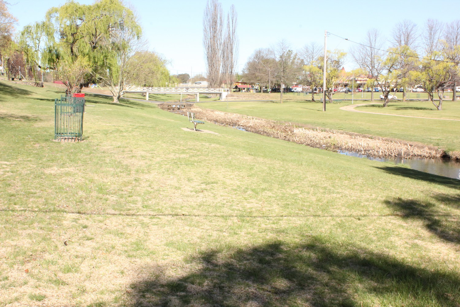
Dumaresq Creek
Looking east along Dumaresq Creek towards footbridge and Faulkner St causeway with Information Centre in the background
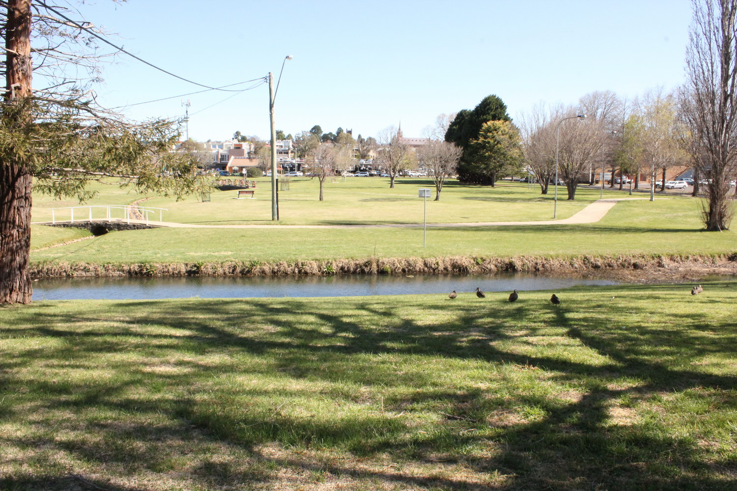
Dumaresq Creek
Looking south across Dumaresq Creek, bicycle path and Civic Park towards the CBD
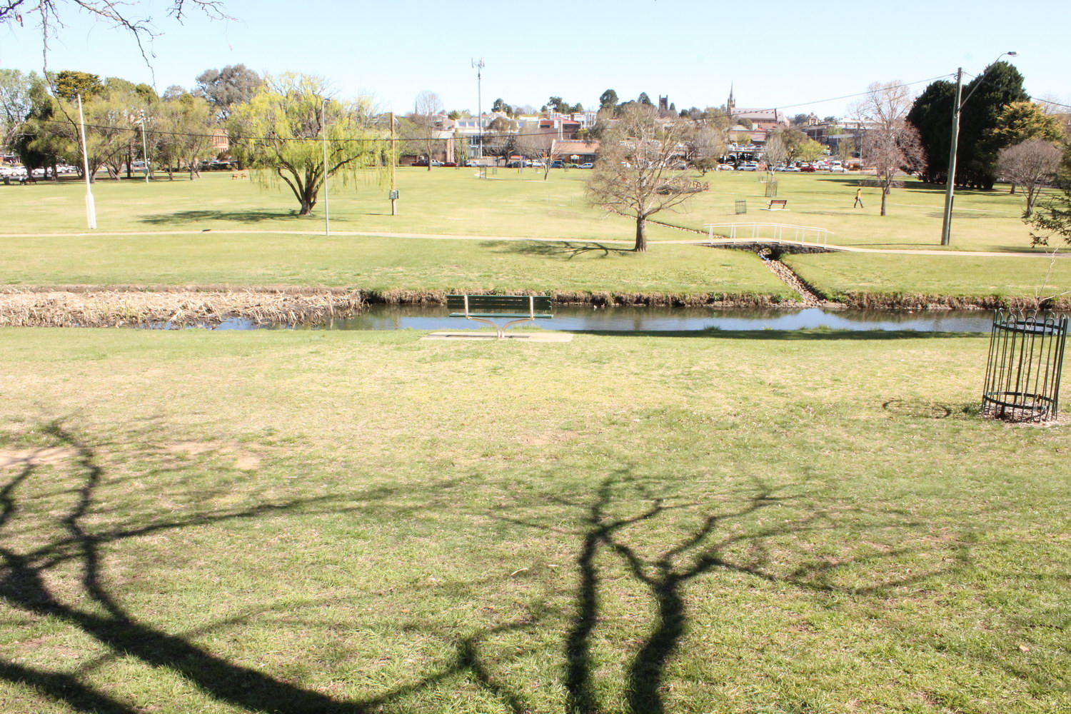
Dumaresq Creek
Looking south across Dumaresq Creek, bicycle path and Civic Park towards the McCarthy Building in Faulkner St
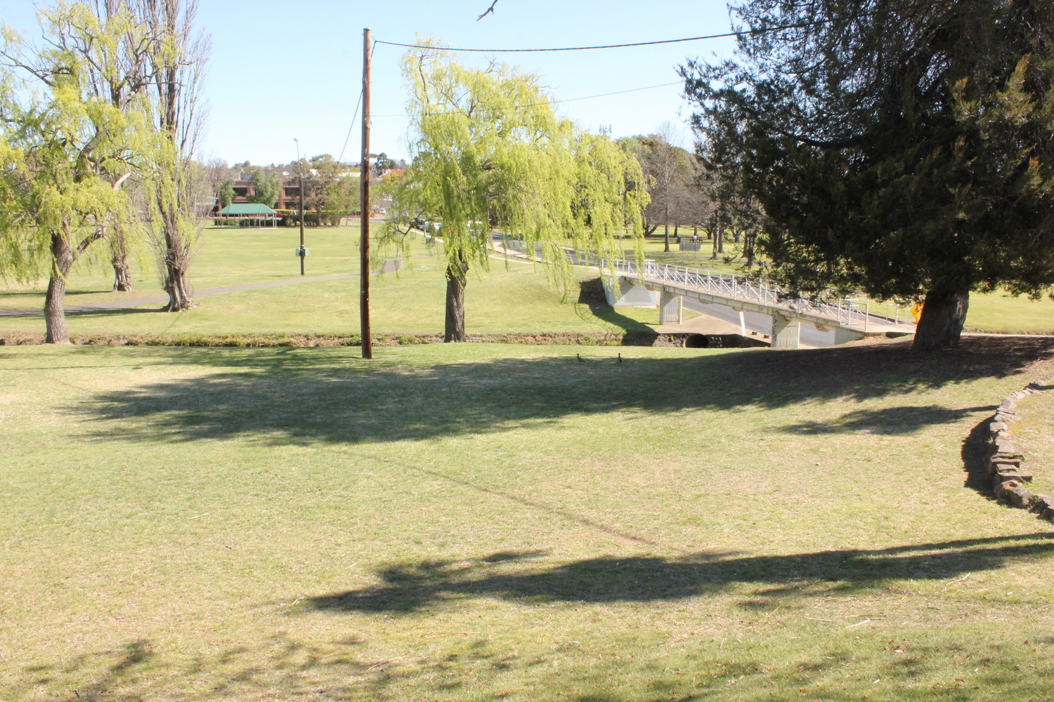
Dumaresq Creek
Looking south across Dumaresq Creek and Curtis Park towards the McCarthy Building in Faulkner St
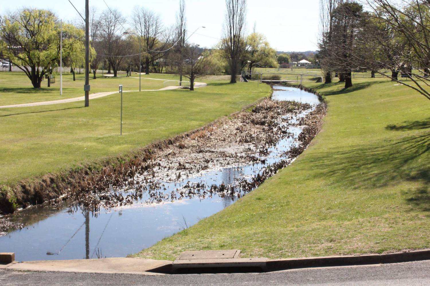
Dumaresq Creek
Looking west from Faulkner St along Dumaresq Creek towards footbridge near Dangar St
Dumaresq Creek
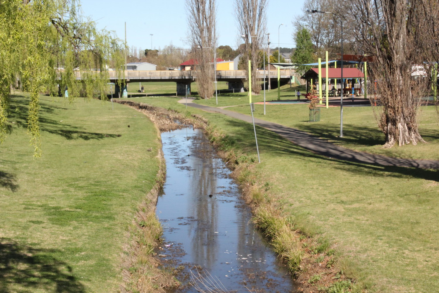
Looking east along Dumaresq Creek towards Stephens Bridge on Marsh St with the Information Centre on the right hand side
Dumaresq Creek
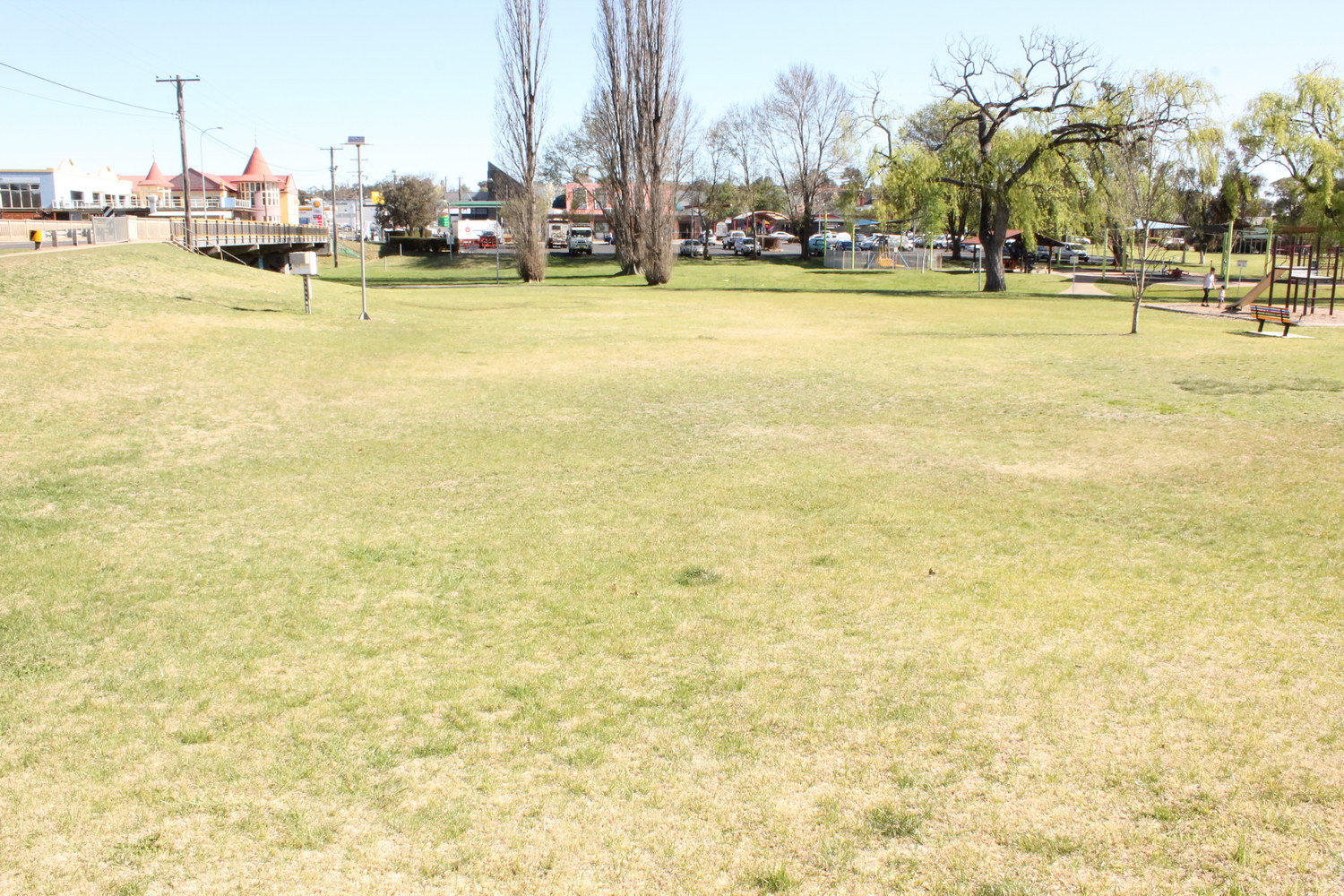
Looking south over Dumaresq Creek towards the Information Centre with Stephens Bridge on the left hand side
Dumaresq Creek
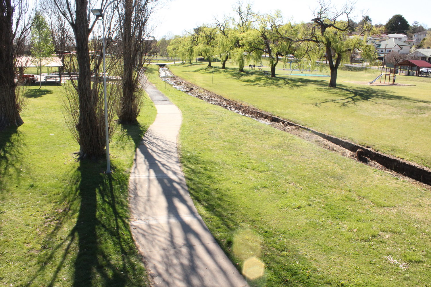
Looking west from Stephens Bridge along Dumaresq Creek and the bicycle path within Curtis Park
Dumaresq Creek
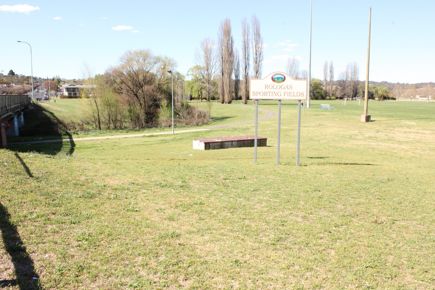
Looking north-east from Stephens Bridge over Rologas Sporting Fields with Dumaresq Creek on the left hand side
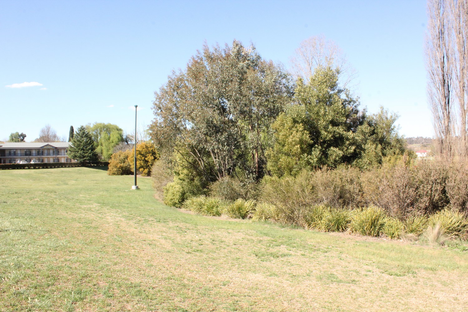
Dumaresq Creek
Looking north-east along AURG plantings along edge of Dumaresq Creek located just to the north of Stephens Bridge (on Marsh St)

Dumaresq Creek
Looking east towards Rologas Sporting Fields over AURG plantings along Dumaresq Creek (on northern side of Stephens Bridge)
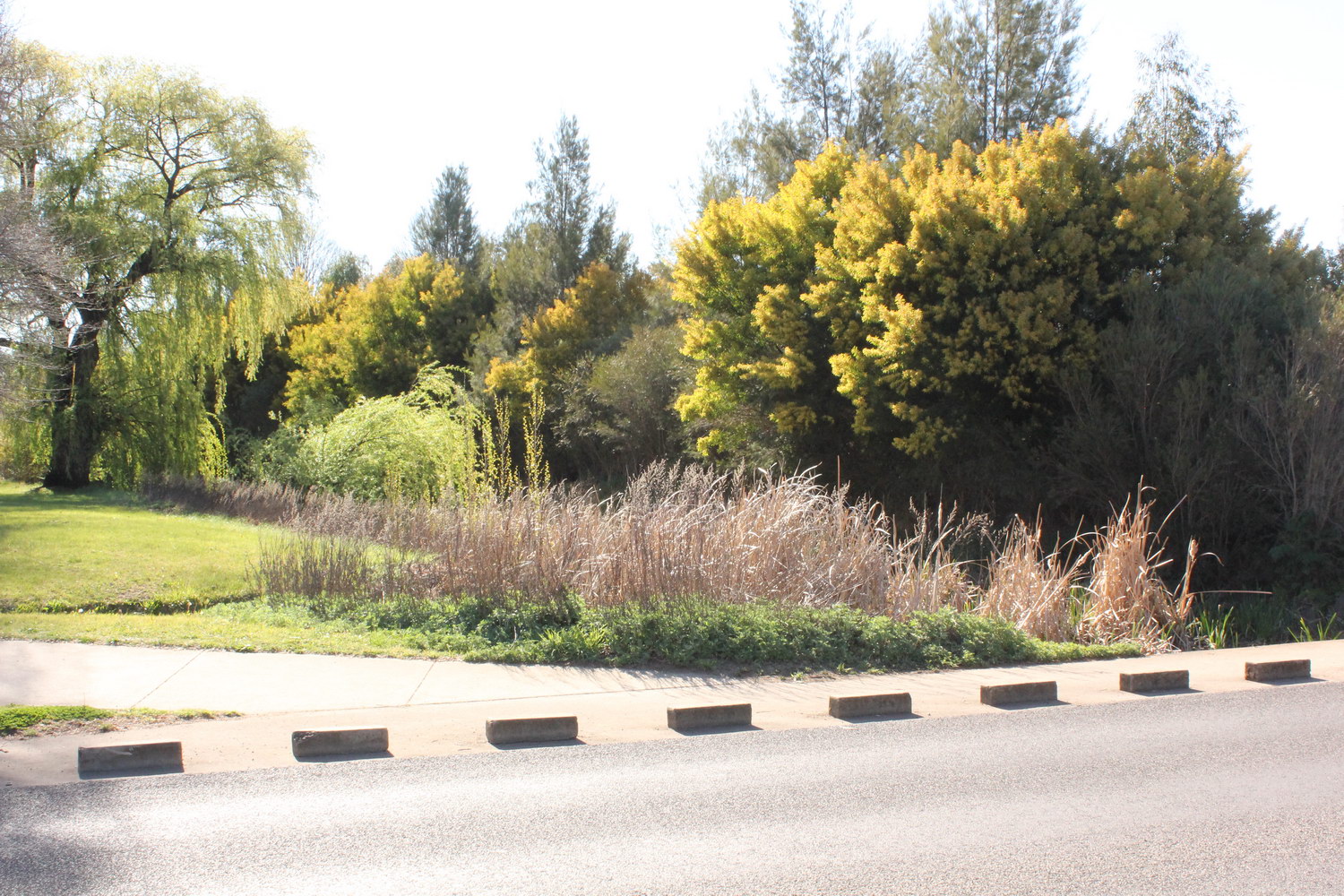
Dumaresq Creek
Looking north-west from Taylor St causeway along AURG plantings along Dumaresq Creek

Dumaresq Creek
Looking north-east from Taylor St causeway along AURG plantings along Dumaresq Creek
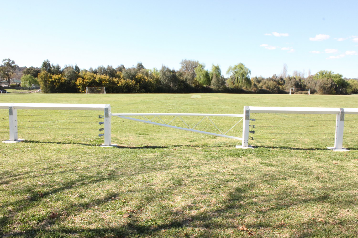
Dumaresq Creek
Looking north over Rologas soccer fields towards Dumaresq Creek
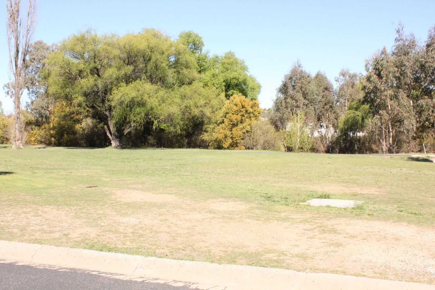
Dumaresq Creek
Looking east from Taylor St towards Dumaresq Creek

Dumaresq Creek
AURG plantings along Dumaresq Creek located in Aveliss Ellery Park
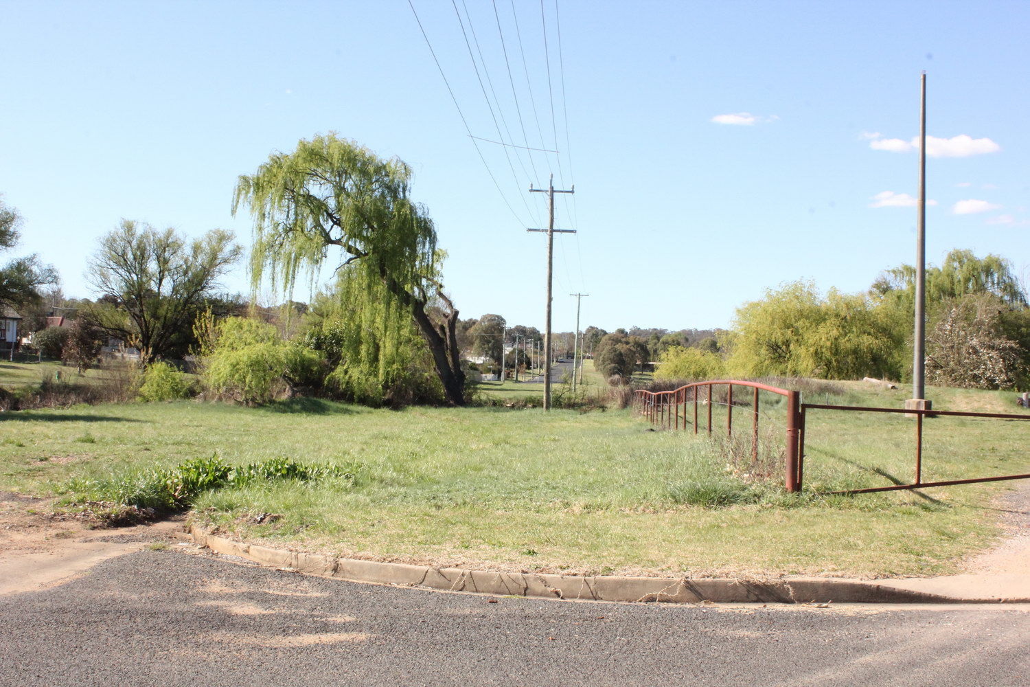
Dumaresq Creek
Looking north across Dumaresq Creek towards Douglas St
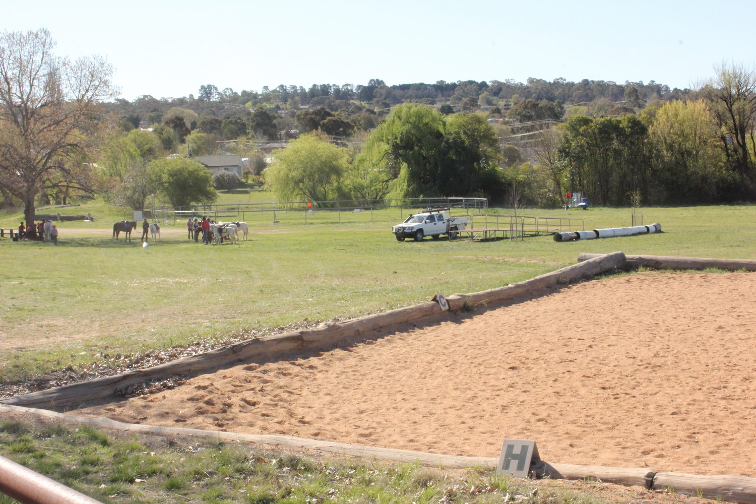
Dumaresq Creek
Looking north west towards Dumaresq Creek behind equestrian fields located north of Donnelly St
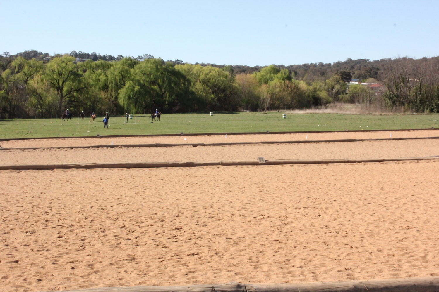
Dumaresq Creek
Looking north towards Dumaresq Creek behind equestrian fields located north of Donnelly St

Dumaresq Creek
Looking north from O’Connor High School towards Dumaresq Creek

Dumaresq Creek
Looking south over Phil Wheaton Field with new AURG plantings visible adjacent to Dumaresq Creek
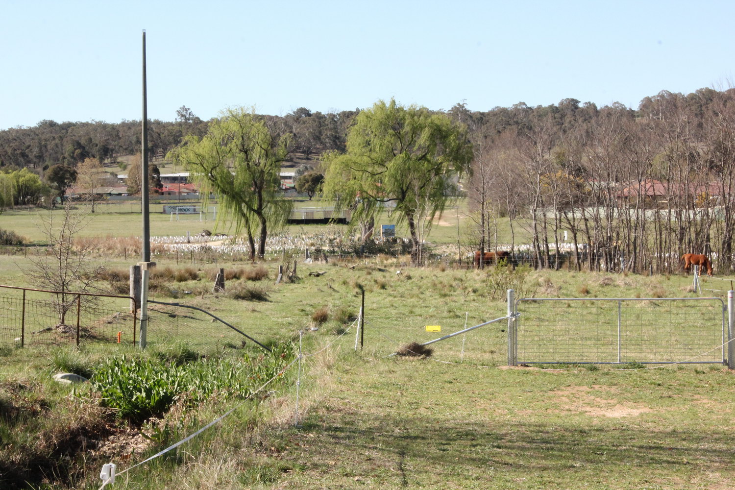
Dumaresq Creek
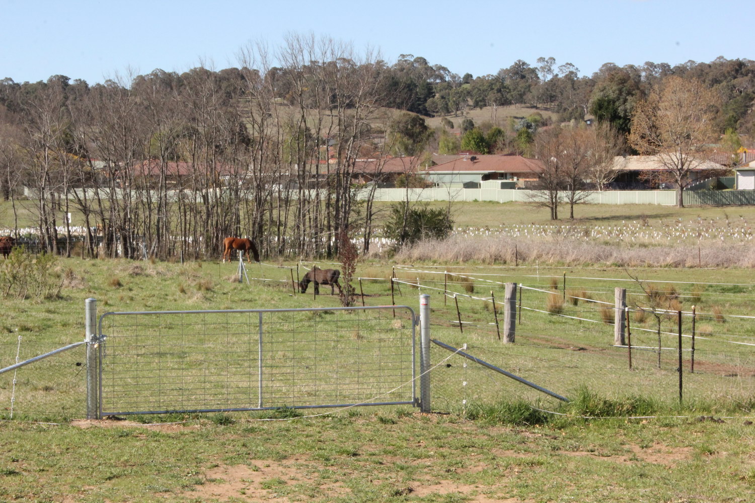
Looking north over new AURG plantings near Phil Wheaton Field
Dumaresq Creek
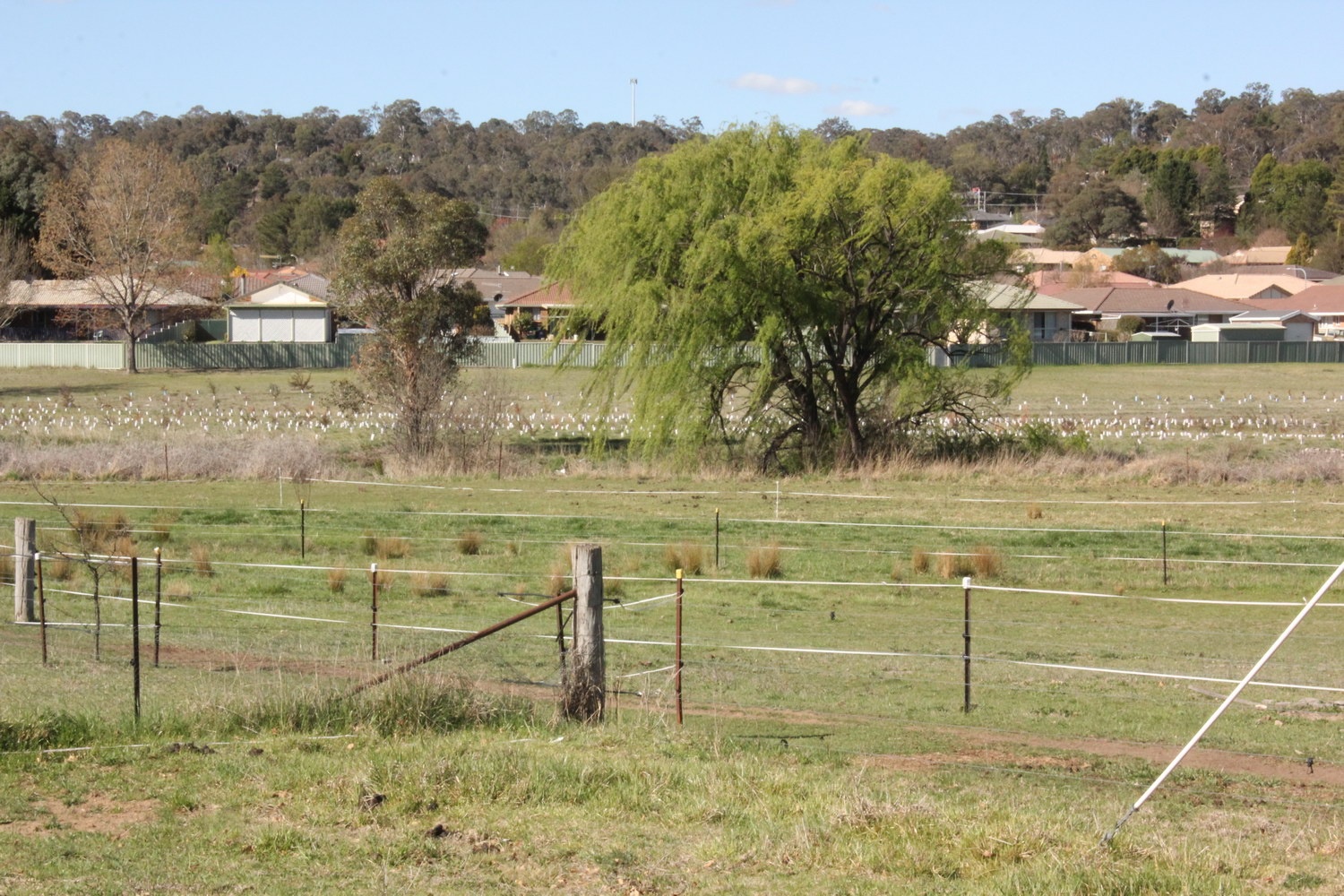
Looking north over new AURG forest planting near Phil Wheaton Field
Dumaresq Creek
Looking north east over new AURG forest planting (west of Cookes Rd)

Dumaresq Creek
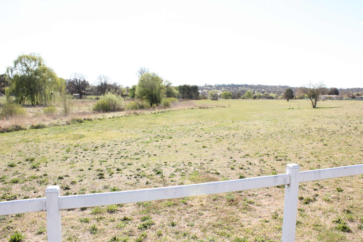
Looking south over Cookes Rd wooden bridge
Dumaresq Creek
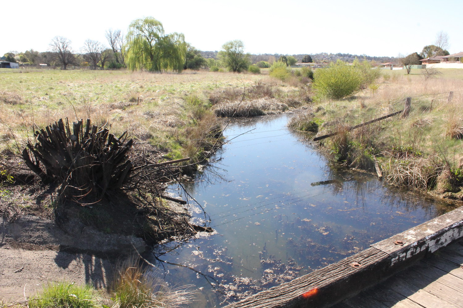
Looking west along Dumaresq Creek from near Cookes Rd bridge
Dumaresq Creek
Looking west along Dumaresq Creek from old wooden bridge on Cookes Rd
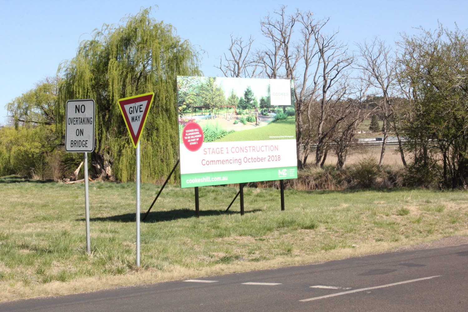
Dumaresq Creek
Looking south east from near Cookes Rd bridge
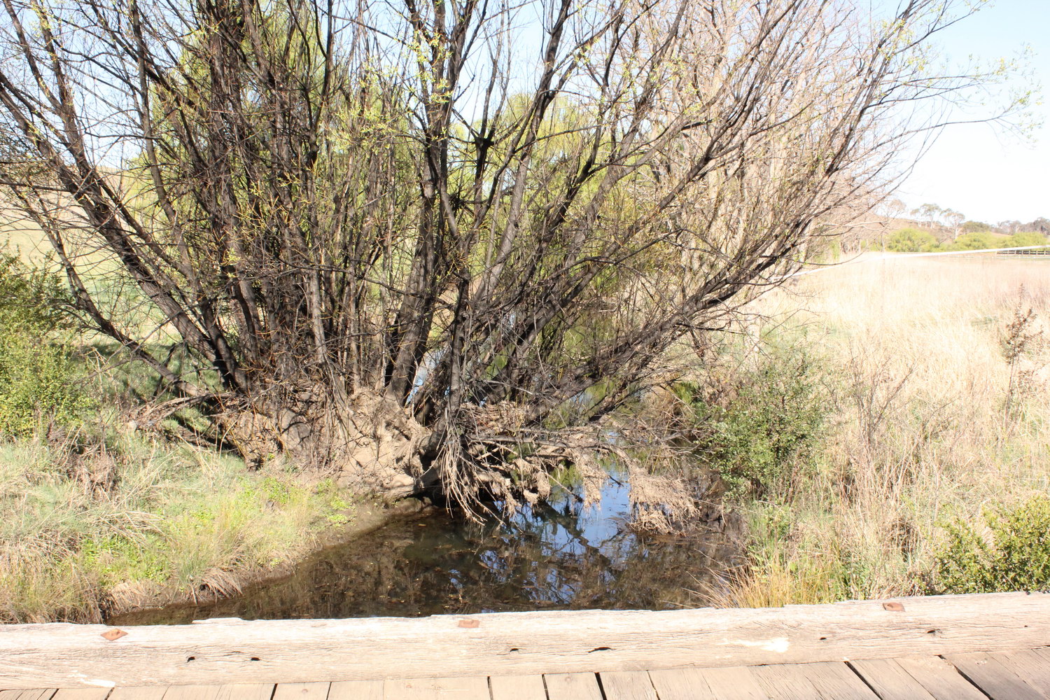
Dumaresq Creek
Looking east from old wooden bridge on Cookes Rd
And that is the end of our bus tour! We hoped you liked it!
Please take our quick 5 minute quiz below to give us a little feedback.
If you would like to support us in our efforts, please join us!
